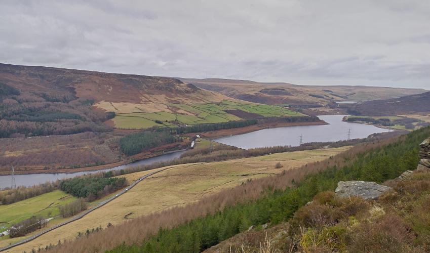
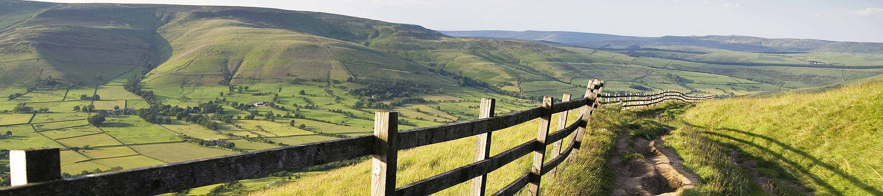
Longdendale and the wild Pennines
Recommended by

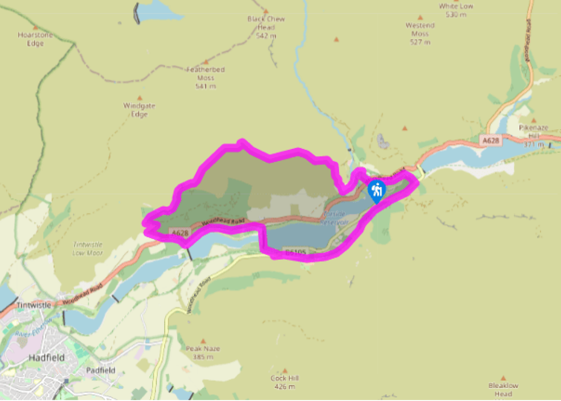
Walk directions
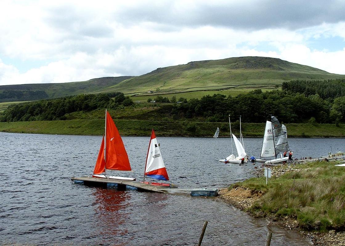
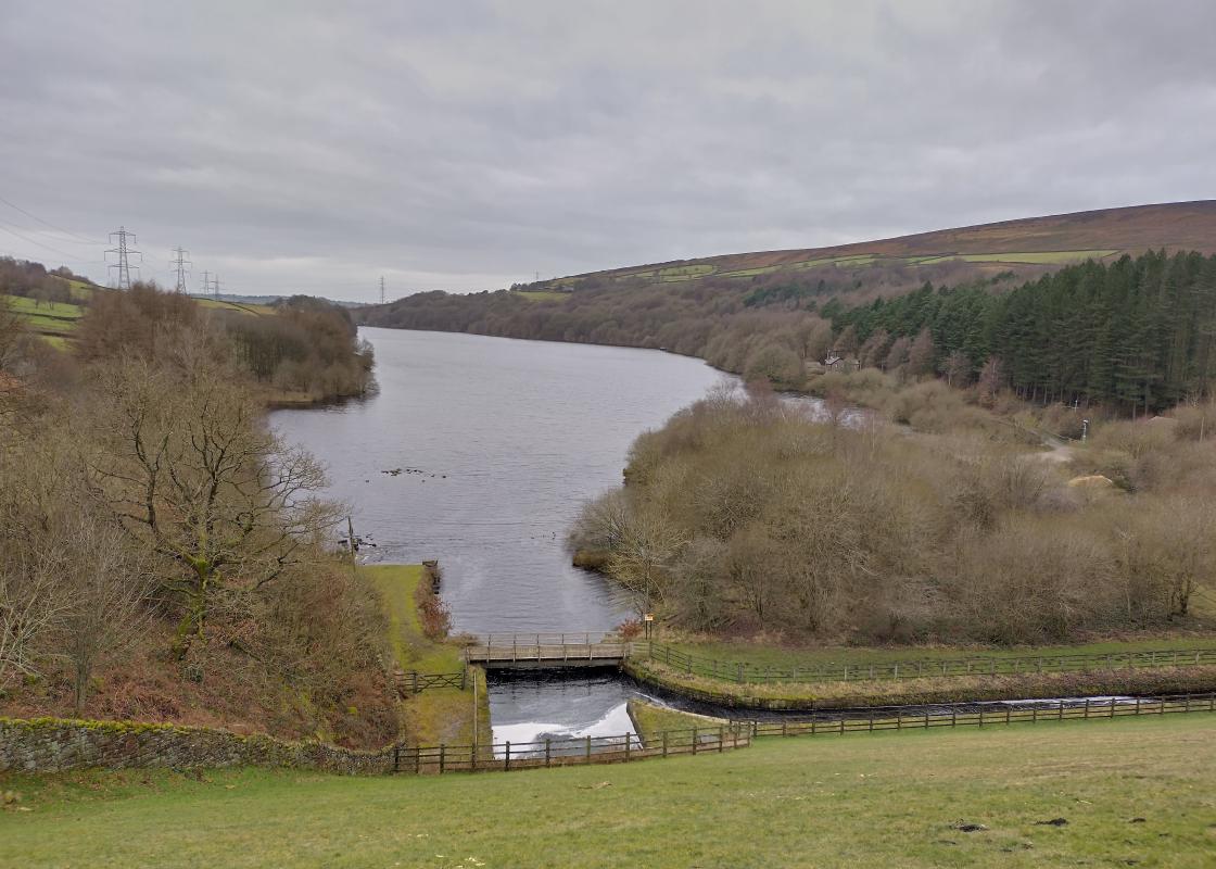
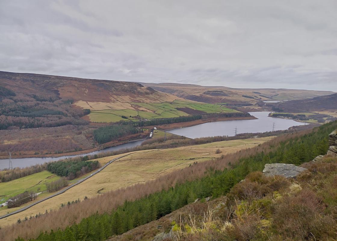
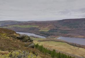
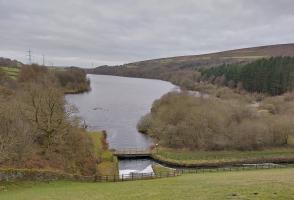
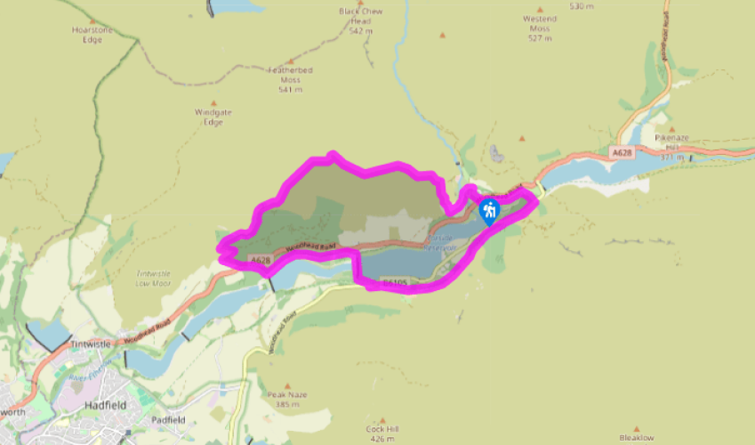
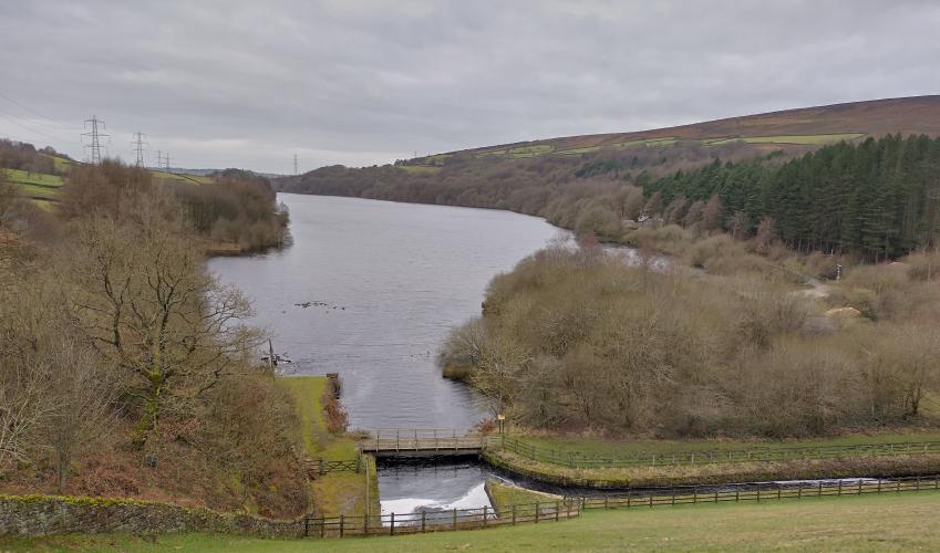
Leave the car park via the path from the toilet block, cross the main road, turn left and then go right at a kissing gate. Turn though a second gate (signed ‘Woodhead Dam’) a short way along on the left. Walk past Torside Reservoir to cross the River Etherow below the Woodhead Dam. Climb away to the road.
Cross to a path opposite, which leads up to the Longdendale and Trans Pennine trails. Follow the trackbed right for 1.75 miles (2.8km) to meet the road again. Cross and go right, then left on a wide descending track (Pennine Way) that swings across the valley over the Torside Dam. Stay on the tarmac road as it climbs away left. Leave the road when it bends right, walking ahead to the left of two gates.
View all directions
Additional information
Terrain
- Good paths and tracks, moorland path may be boggy in wet weather, some stiles
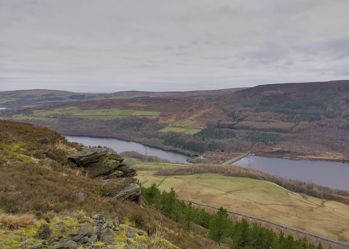
Landscape
- Heather moorland and rolling farm pastures
Dog friendliness
- Walk is on farmland and access agreement land; dogs should be kept on lead
Parking
- Crowden car park
Toilets en route
- At Crowden and Torside car park
About the walk
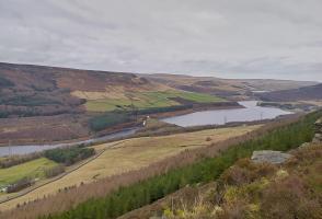
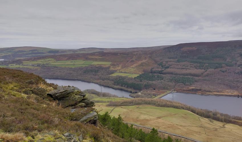
Longdendale, the valley of the River Etherow, threads deep into the Pennines between the craggy cliffs of Bleaklow and the sullen slopes of Black Hill. In bygone centuries this must have been an inhospitable but dramatic wilderness of heath and bog. Meanwhile, in nearby Manchester, the Industrial...
Read more

Been on this walk?
Send us photos or a comment about this route. Or recommend a route of your own.

Walking in Safety
Read our tips to look after yourself and the environment when following this walk.

Get an AA guide
Explore our range of ‘50 Walks in’ guides - they’re the ideal companion for a ramble.
Been on this walk?
Send us photos or a comment about this route. Or recommend a route of your own.
Walking in Safety
Read our tips to look after yourself and the environment when following this walk.
Get an AA guide
Explore our range of ‘50 Walks in’ guides - they’re the ideal companion for a ramble.
About the area
The natural features of this central English county range from the modest heights of the Peak District National Park, where Kinder Scout stands at 2,088 ft (636 m), to the depths of its remarkable underground caverns, floodlit to reveal exquisite Blue John stone. Walkers and cyclists will enjoy the High Peak Trail which extends from the Derwent Valley to the limestone plateau near Buxton, and for many, the spectacular scenery is what draws them to the area.
Nearby places to stay
View all (8)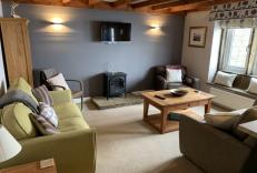


Nearby places to stay
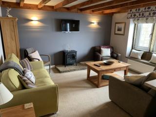
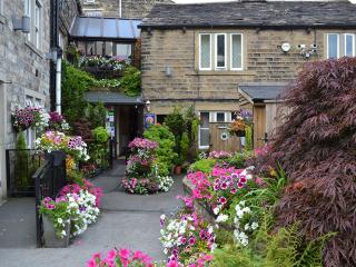
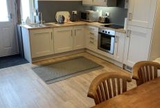
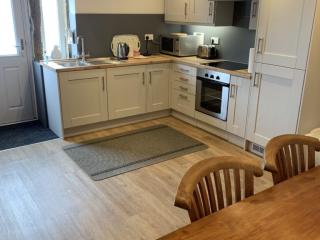
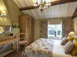
Lane Farm Holiday Cottages
Lane Farm Holiday Cottages are on the south facing slope of the beautifully scenic Holme Valley, just below Holme Moss. Mount View (sleeps 6) and Trough Cottage (sleeps 5) have their ow...
Trough Cottage
Awaiting description...
Mount View
Awaiting description...
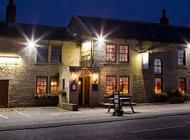
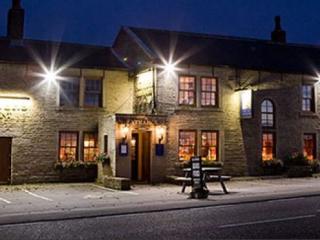
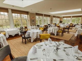
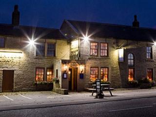
The White Hart Inn Lydgate
Located on top of a hill on the edge of the Pennines, this characterful inn is the perfect combination of modern comfort and traditional style. In the bar, expect wood beams, warm log-b...
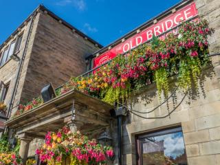
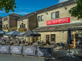
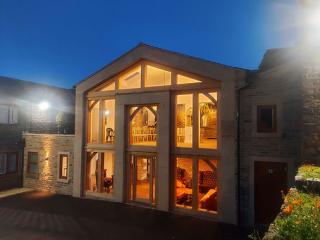
Old Bridge Inn & Coffee House
The Old Bridge Inn & Coffee House is a contemporary inn located in the heart of the vibrant town of Holmfirth. While the inn’s stylish public spaces exude modern charm, its traditionall...

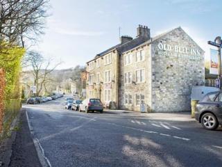
The Old Bell Inn
Formerly a coaching inn dating back to 1835 and situated in a rural village yet close to motorway links, The Old Bell has a quiet ambience allied with refined service. Hospitality is a ...
Dog & Partridge
The Dog & Partridge, a comfortable family-run inn, is located within the Peak District National Park. Bedrooms are situated in the 18th-century barn adjoining the inn; all rooms are com...
Grains Bar Hotel
Grains Bar Hotel is a relaxed, family-owned property located on the border of Yorkshire and Lancashire, relatively close to Manchester. It offers a range of bedrooms, from single, to do...
Places to eat nearby View all