Cwm Bychan and the Roman Steps
Recommended by

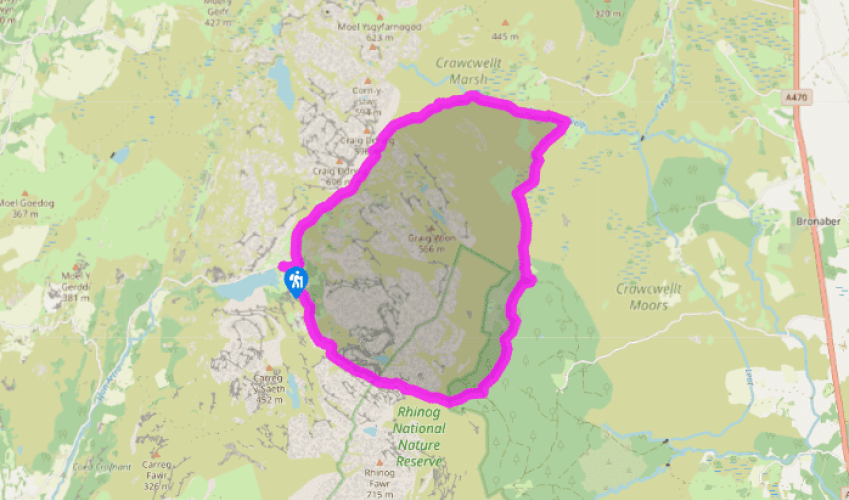
Walk directions
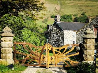
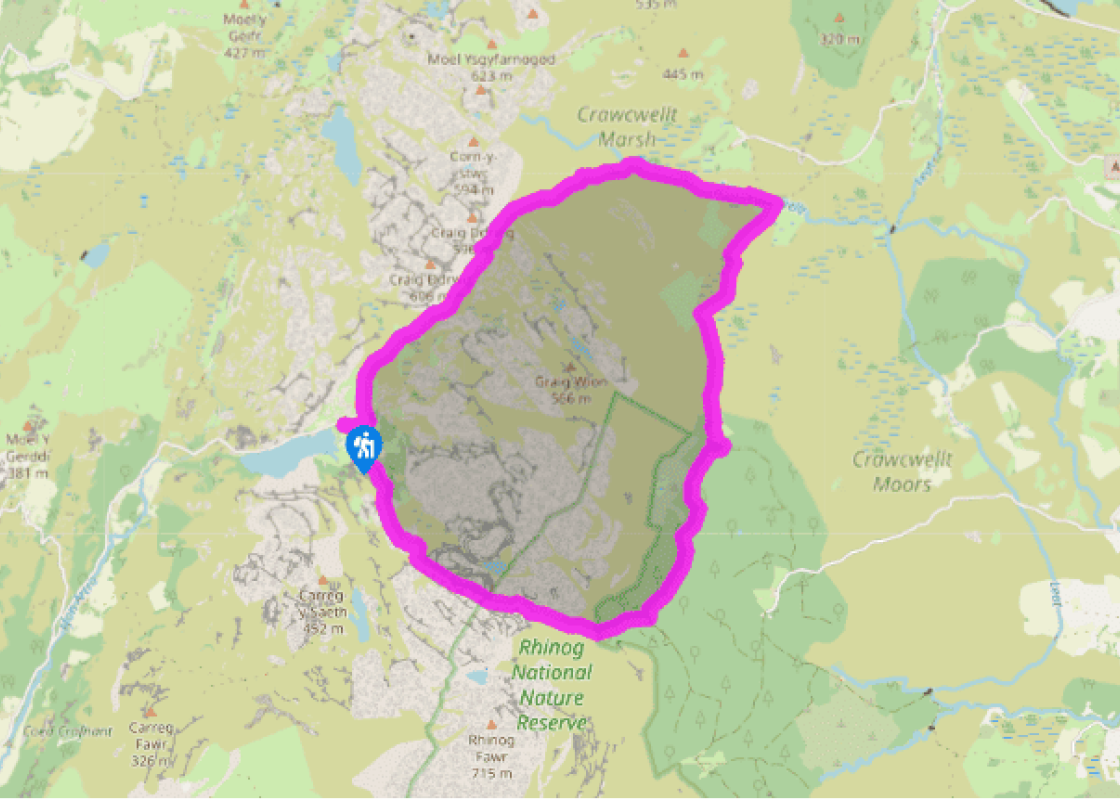
Go through the gate at the top of the car park at Llyn Cwm Bychan, and over the paved causeway across the stream. Beyond a kissing gate and stile the path climbs up through squat woodland.
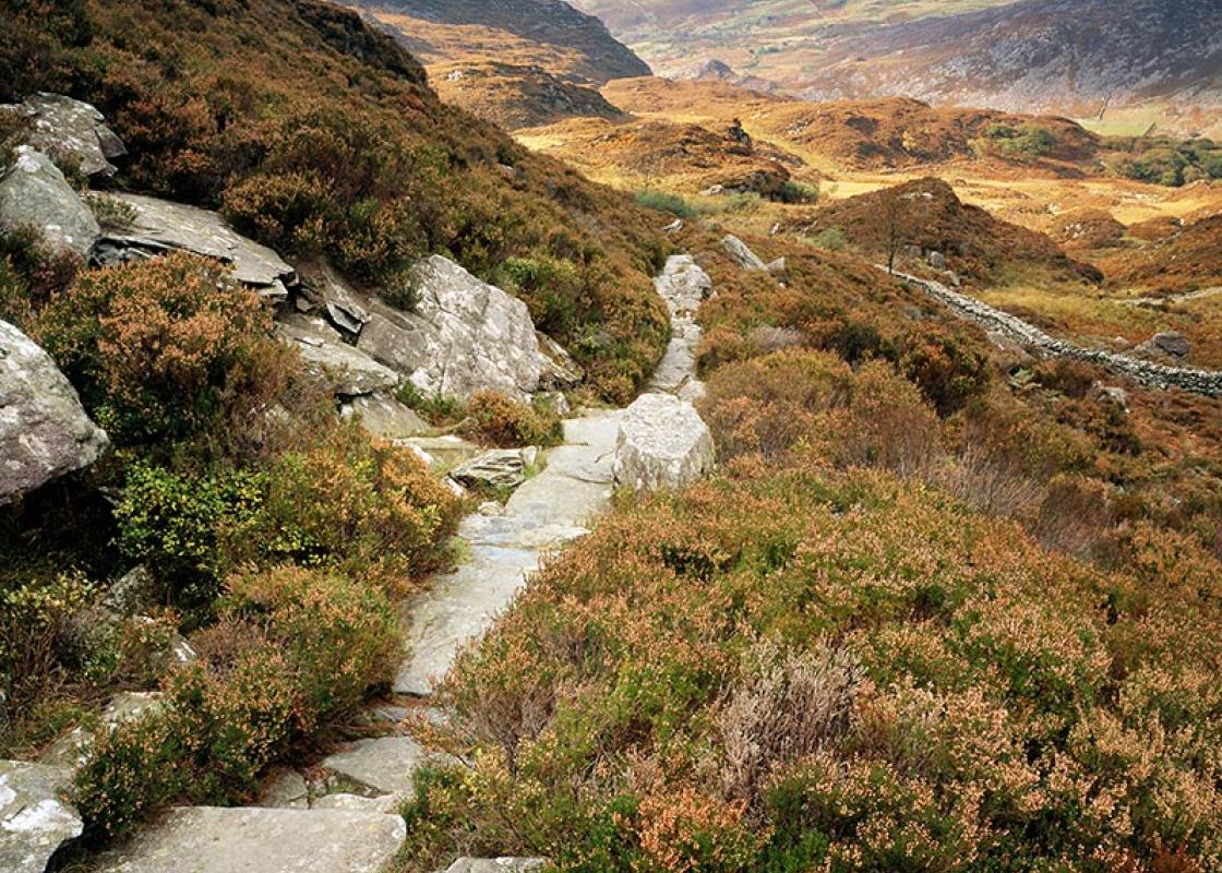
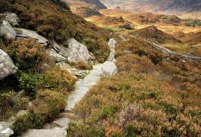
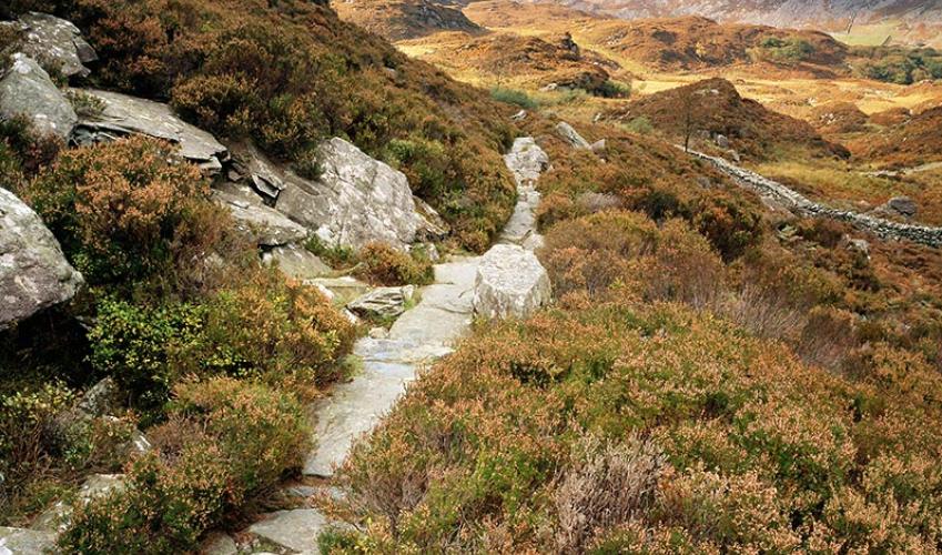
Over another stile you leave woodland behind and cross a stream on a small bridge. The path, always clear, climbs steadily to a gate. Now slabbed with ‘the steps’, it climbs through a heather-clad rocky ravine and on to the cairn marking the highest point along the rocky pass of Bwlch Tyddiad.
View all directions
Additional information
Terrain
- Rocky paths, tracks and boggy moorland, many stiles
Landscape
- Gnarled gritstone peaks with heather slopes
Dog friendliness
- Can be off lead in upper heather-clad regions of walk
Parking
- At head of Llyn Cwm Bychan (honesty box)
Toilets en route
- None on route
About the walk
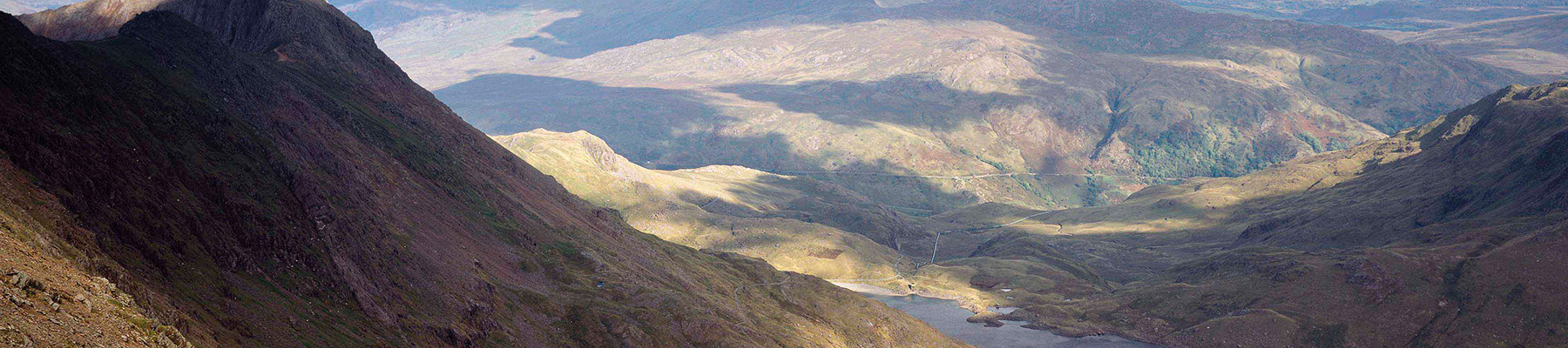
The road from Llanbedr into Cwm Bychan is a joy in itself, passing through oak woods, by the banks of a babbling stream and beneath the small rocky castles of the Rhinog foothills. Llyn Cwm Bychan is stunning. If you see it on an August day, when the colourful heather contrasts with the vivid green...
Read more

Been on this walk?
Send us photos or a comment about this route. Or recommend a route of your own.

Walking in Safety
Read our tips to look after yourself and the environment when following this walk.

Get an AA guide
Explore our range of ‘50 Walks in’ guides - they’re the ideal companion for a ramble.
Been on this walk?
Send us photos or a comment about this route. Or recommend a route of your own.
Walking in Safety
Read our tips to look after yourself and the environment when following this walk.
Get an AA guide
Explore our range of ‘50 Walks in’ guides - they’re the ideal companion for a ramble.
About the area
The county of Gwynedd is home to most of the Snowdonia National Park – including the wettest spot in Britain, an arête running up to Snowdon’s summit that receives an average annual rainfall of 4,473mm. With its mighty peaks, rivers and strong Welsh heritage (it has the highest proportion of Welsh-speakers in all of Wales), it’s always been an extremely popular place to visit and live.
Nearby places to stay
View all (8)


Nearby places to stay

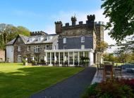
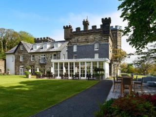
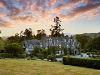
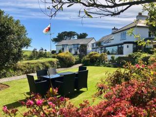
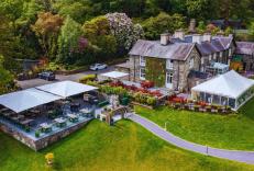
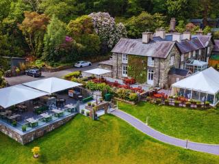
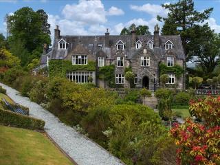
Ty Mawr Hotel
Ty Mawr translates as 'Big House' and this particular house is located in the picturesque Snowdonia National Park. The attractive grounds, opposite the River Artro, provide a popular be...
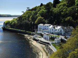
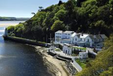
The Hotel Portmeirion
An elegant hotel enjoying pride of place shore-side beneath the wooded slopes of Portmeirion village, overlooking the sandy estuary. Saved from dereliction in the 1920s by Clough Willia...
Aberdunant Hall
Part of the Aberdunant Hall holiday park, which is set on 200 acres of ancient woodland, that includes a superb selection of indigenous trees, flora and fauna, further enhanced by water...
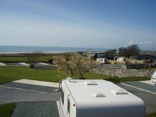
Barmouth Bay Holiday Park
With a mountain backdrop and direct access to miles of sandy beaches, Barmouth Bay Holiday Park is an ideal location for escaping from the pressures of everyday life. Holiday homes are ...
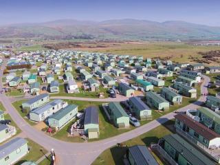
Greenacres Holiday Park
A quality holiday park on level ground just a short walk from Black Rock Sands, and set against a backdrop of Snowdonia National Park. All touring pitches are on hardstandings surrounde...
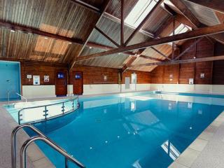
Islawrffordd Caravan Park
Situated on the coast between Barmouth and Harlech and within the Snowdonia National Park, this site has clear views of Cardigan Bay, the Llŷn Peninsula and the Snowdonia and Cader Idri...
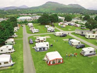
Trawsdir Touring Caravans & Camping Park
Well run by the owners, this quality park enjoys spectacular views to the sea and hills, and is very accessible for motor traffic. The facilities are appointed to a very high standard, ...
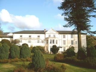
Penmaenuchaf Dolgellau
Set under the imposing Cadair Idris and overlooking the Mawddach estuary, Penmaenuchaf is a comfortable retreat enjoying peace, fantastic views and dark skies. The house has long been w...
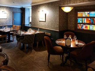
Places to eat nearby View all