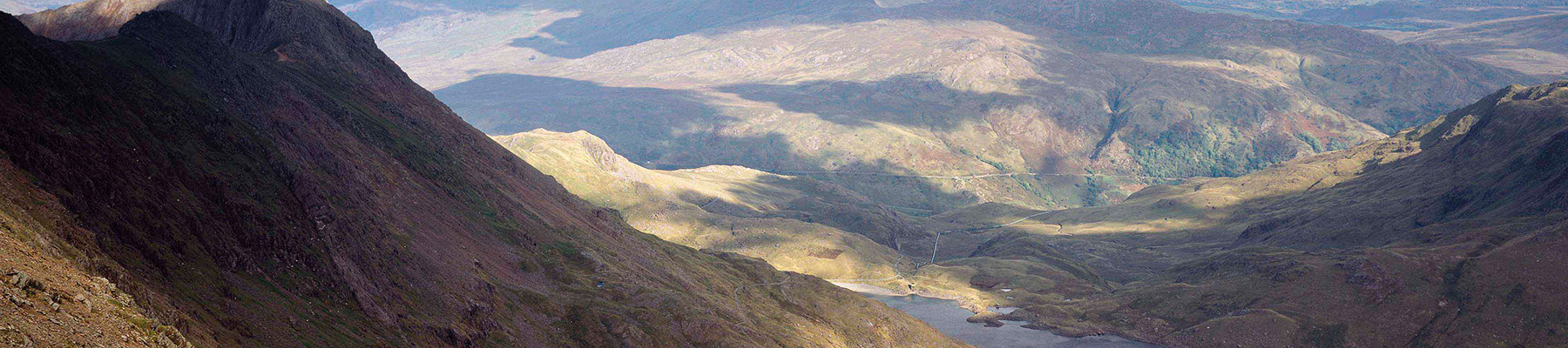
Nant Gwynant and Craflwyn
Recommended by

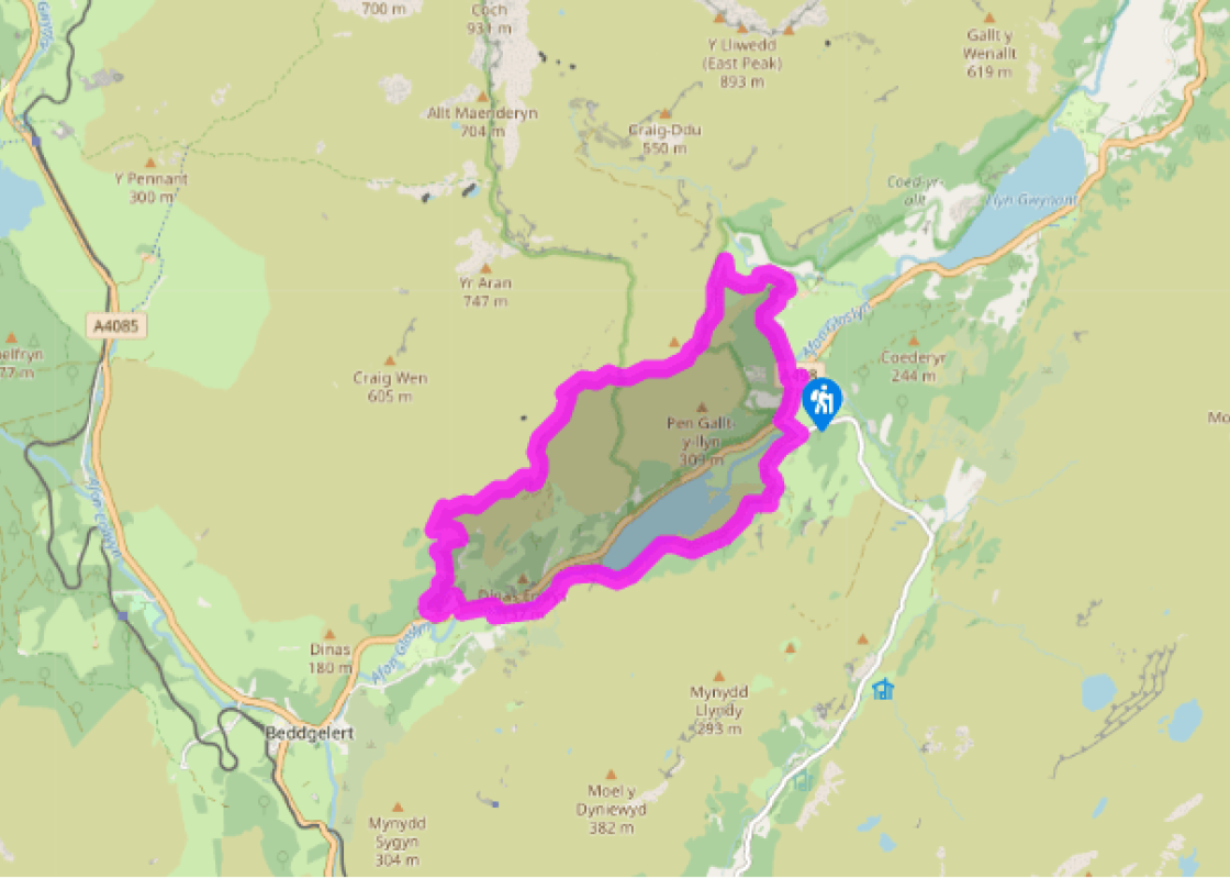
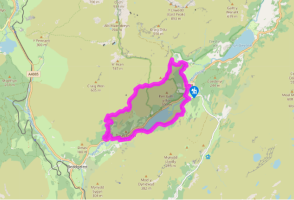
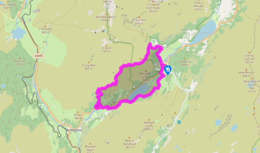
"Through Bylchau Terfyn to Craflwyn, returning along the shores of Llyn Dinas"
Walk directions
From the car park, walk towards the main road and turn left. Shortly, cross to a footpath sign and keep ahead up stone steps onto a path marked ‘Llwybr Watkin Path’. Follow a pleasant woodland path as far as a black metal gate, where you are joined by a wider track from the right.
Continue climbing along the Watkin Path, which provides good views of a river and falls in the valley to the right. After swinging sharply left, the track crosses the line of a former incline, then curves to the right to cross it for a second time. Immediately before this point, turn left on to a clear path signed to Craflwyn.
View all directions
Additional information
Terrain
- Well-maintained paths and tracks, some potentially muddy sections
Landscape
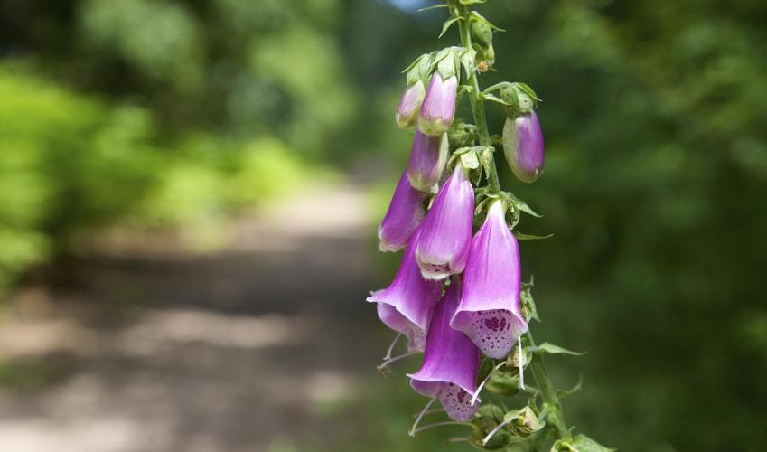
- Rocky hills, oak woods, river valley and lake
Dog friendliness
- Dogs to be kept on lead on National Trust property
Parking
- Pay-and-display car park at Pont Bethania
Toilets en route
- At Pont Bethania and National Trust car park at Craflwyn
About the walk
Encircled by high mountains (including Yr Wyddfa or Snowdon to the north), Nant Gwynant is one of Wales’s most spectacular valleys. This exhilarating walk across the valley slopes provides the perfect combination of views and history. You will pass through a historic landscape shaped by centuries...
Read more

Been on this walk?
Send us photos or a comment about this route. Or recommend a route of your own.

Walking in Safety
Read our tips to look after yourself and the environment when following this walk.

Get an AA guide
Explore our range of ‘50 Walks in’ guides - they’re the ideal companion for a ramble.
Been on this walk?
Send us photos or a comment about this route. Or recommend a route of your own.
Walking in Safety
Read our tips to look after yourself and the environment when following this walk.
Get an AA guide
Explore our range of ‘50 Walks in’ guides - they’re the ideal companion for a ramble.
About the area
The county of Gwynedd is home to most of the Snowdonia National Park – including the wettest spot in Britain, an arête running up to Snowdon’s summit that receives an average annual rainfall of 4,473mm. With its mighty peaks, rivers and strong Welsh heritage (it has the highest proportion of Welsh-speakers in all of Wales), it’s always been an extremely popular place to visit and live.
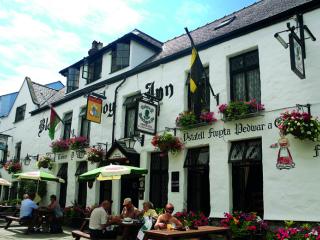
Nearby places to stay
View all (8)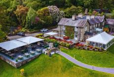


Nearby places to stay
Aberdunant Hall
Part of the Aberdunant Hall holiday park, which is set on 200 acres of ancient woodland, that includes a superb selection of indigenous trees, flora and fauna, further enhanced by water...

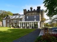
The Royal Victoria Hotel Snowdonia
The Royal Victoria Hotel Snowdonia is a well-established hotel near the foot of Snowdon, between the Peris and Padarn lakes. The mountains and extensive grounds make an attractive backd...
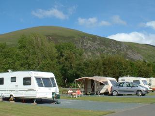
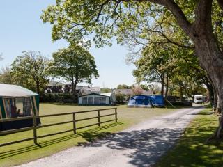
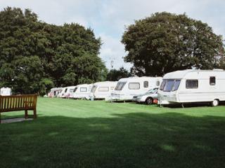
Bryn Gloch Caravan & Camping Park
Set beside the River Gwyrfai, Bryn Gloch offers shepherd's huts, static caravans and touring pitches in the heart of beautiful Snowdonia (Eryri). The park offers the best of two worlds,...
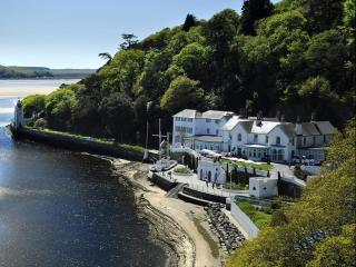
The Hotel Portmeirion
An elegant hotel enjoying pride of place shore-side beneath the wooded slopes of Portmeirion village, overlooking the sandy estuary. Saved from dereliction in the 1920s by Clough Willia...
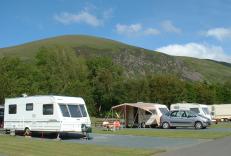
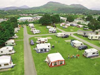
Llys Derwen Caravan & Camping Site
Enjoy the adventure of a lifetime in Snowdonia North Wales. Nestled in the scenic embrace of Mount Snowdon (Yr Wyddfa), the award winning Llys Derwen Caravan & Campsite Snowdon is an id...
Greenacres Holiday Park
A quality holiday park on level ground just a short walk from Black Rock Sands, and set against a backdrop of Snowdonia National Park. All touring pitches are on hardstandings surrounde...
Plas Gwyn Caravan & Camping Park
A secluded park in an ideal location for visiting the glorious nearby beaches, historic Caernarfon, the attractions of Snowdonia and for walking opportunities. The site is set within th...
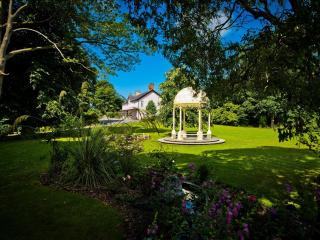
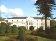
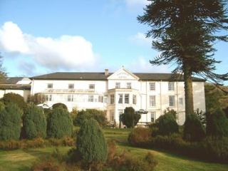
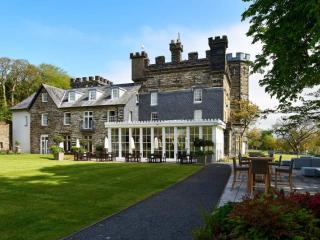
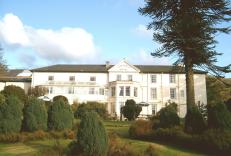
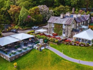
Plas Dinas Country House
Plas Dinas Country House nestles between the Snowdonia mountains and the Irish Sea. It's an idyllic setting with stunning views. Located in beautiful grounds, this delightful Grade-II l...
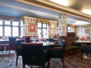
Places to eat nearby View all