"A brief glimpse of the subterranean mysteries of limestone and a lot of fine wild country."
Walk directions
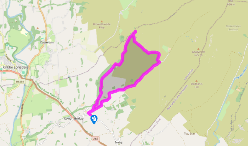
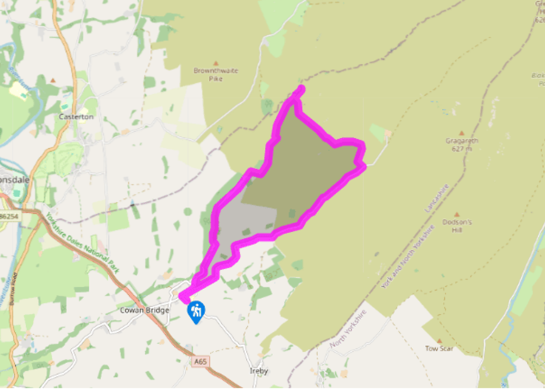
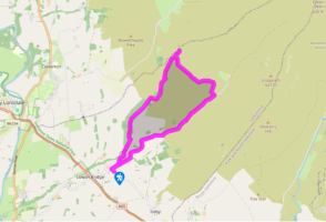
Follow the road right and then right again to a junction by a letter box. Go left and keep right to Leck Mill.
At the end of the tarmac, bear left past a cottage and through a gate into pasture. Follow the ongoing track from field to field, taking the left fork where it later splits. Beyond a gate, continue through woodland. Returning to pasture, carry on, passing a wooden bothy at the edge of the trees. Eventually crossing onto access land, the path drops towards the river.
Over a side stream, rise to a waypost and swing right to climb beside the stream, negotiating a couple of stiles to meet a crossing path. Turn left, soon passing the ruins of Anneside. In time, crossing a wall, the path dips to ford a stream. Climb left to continue along a terrace overlooking the valley. Keep ahead at a fork, passing above a small enclosure to a wall stile. Carry on, later crossing a broken wall above the confluence of Leck Beck with Ease Gill and eventually reaching a small gate.
Through it, first bear right beside the fence to a fork by a field gate. Take the lower branch, winding down into Ease Gill. After exploring, go back to the small gate and this time follow the descending path beside the fence. After a few steps, drop back across a steep grass bank to descend into the lower part of the gorge, Ease Gill Kirk. Take care, particularly when it is wet.
Go back and leave through the gate. Immediately turn left through the bracken, walking a few paces to find a trod in front of a broken wall. Follow it left past a hollow and then curve up to the right on a vague path that shortly passes a covered pothole (SD 662797). Now distinct, the path rises on along a shallow scar to meet a wall. Turn left and follow it uphill. (In mist, from the gate simply retrace your steps to the last wall and head uphill beside it.) After some 600yds (549m), just after the wall kinks around a sink, bear left to a fence surrounding Death's Head Hole. A trod leads on past Eyeholes and then Long Drop, continuing to two more potholes, Rumbling Hole and Rumbling Beck.
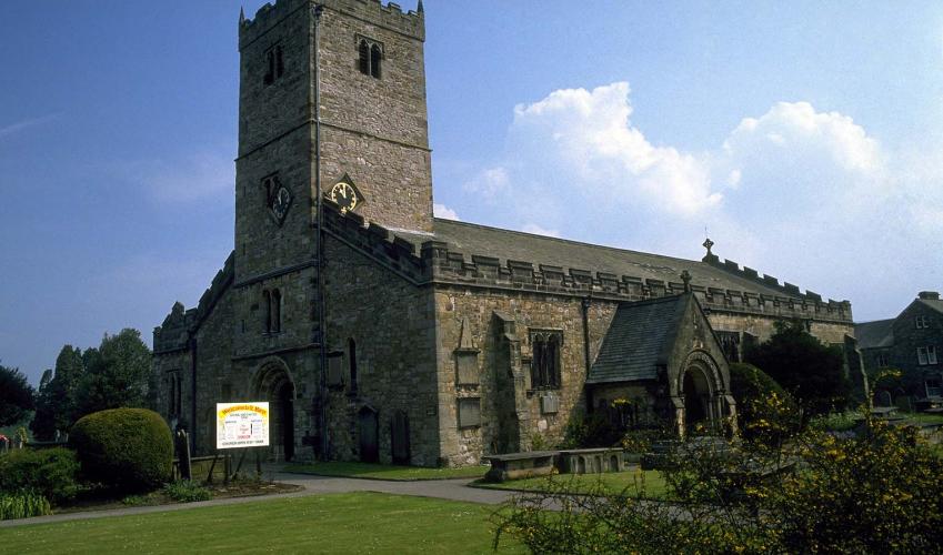
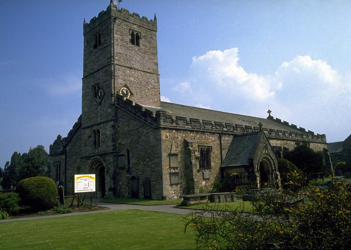
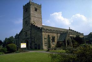
Return to Rumbling Hole and head left from the stile past Short Drop. Regaining the wall, go left to a lane. Follow it right, soon passing a gate on the left, beyond which are the entrances to Lost John's Cave. Continue down the lane for 2.5 miles (4km), eventually meeting the outward route. Go left back to the church and car park.
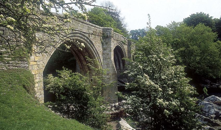
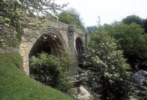
Yes, this is still Lancashire. A long wedge of countryside squeezed between Cumbria and North Yorkshire, with the highest ground in the county along the borders, reaching 2,254ft (687m) on Great Coum. But it hardly feels like Lancashire: the landscape, with its limestone gorges, scars and... pot-holes, is what you expect of the Yorkshire Dales. High drama The crucial thing about limestone is that it dissolves in water far more readily than other rocks. It can produce gentle beauty, as around Silverdale, or it can yield high drama, as it does here. First, however, there's a lengthy preamble, following Leck Beck from green pastures to open moors, where you're as likely to see hen harriers as other walkers.The drama begins with the gorge of Ease Gill Kirk. You can enter both its upper and lower reaches, though a vertical rock step blocks the direct connection between the two. The lower section of the gorge is particularly impressive, with leaning rock walls punctured by several cave entrances. Limestone caves and gaping holes Most of these are gloomy passages, which many people will find uninviting if not actually repellent, though you can see evidence of digging undertaken by cavers to enlarge the entrances. At the back, just to the right of the rock step, is another cave, which you can safely look into. Some extra light enters from a slot high on the left. It's back into the open on the wide moors above Ease Gill Kirk. Initially there are only faint sheep tracks to follow, but a clear path soon develops, turning to climb beside a long wall. But the drama's not over, as the level moor is pockmarked with holes, from shallow pits to gaping shafts. Fortunately all the dangerous ones are fenced off. The most blatant is Rumbling Hole. It gets its name from the constant sound – actually more of a tapping – of water striking stones at the bottom, 360ft (110m) down. Short Drop Cave is less spectacular, with a narrow entrance where the stream can normally be heard not far below. Lost John's Cave lies to the left of the Leck Fell road and is important to cavers because of the extent of its underground passages. Further down, where the road runs in a slight valley, look for a manhole covering another entrance tucked beneath the wall on the left. Even if you normally hate road walking, the finish of this walk should win you over. The grass verges are kind to your feet and you'll often go the whole way without meeting a single car. Wide views stretch over Morecambe Bay and the Lake District at first, but as you lose height the perspective changes and increasingly it's a Lune Valley view.
Lancashire was at the centre of the British cotton industry in the 19th century, which lead to the urbanization of great tracts of the area. The cotton boom came and went, but the industrial profile remains.
"A brief glimpse of the subterranean mysteries of limestone and a lot of fine wild country."
Walk details
3hrs
Difficulty:
Hard
Gradient:
Moderate
Distance:
7 miles (11.3kms)
Ascent:
1230ft (375m)
Walk directions
Follow the road right and then right again to a junction by a letter box. Go left and keep right to Leck Mill.
1 of 6
At the end of the tarmac, bear left past a cottage and through a gate into pasture. Follow the ongoing track from field to field, taking the left fork where it later splits. Beyond a gate, continue through woodland. Returning to pasture, carry on, passing a wooden bothy at the edge of the trees. Eventually crossing onto access land, the path drops towards the river.
2 of 6
Over a side stream, rise to a waypost and swing right to climb beside the stream, negotiating a couple of stiles to meet a crossing path. Turn left, soon passing the ruins of Anneside. In time, crossing a wall, the path dips to ford a stream. Climb left to continue along a terrace overlooking the valley. Keep ahead at a fork, passing above a small enclosure to a wall stile. Carry on, later crossing a broken wall above the confluence of Leck Beck with Ease Gill and eventually reaching a small gate.
3 of 6
Through it, first bear right beside the fence to a fork by a field gate. Take the lower branch, winding down into Ease Gill. After exploring, go back to the small gate and this time follow the descending path beside the fence. After a few steps, drop back across a steep grass bank to descend into the lower part of the gorge, Ease Gill Kirk. Take care, particularly when it is wet.
4 of 6
Go back and leave through the gate. Immediately turn left through the bracken, walking a few paces to find a trod in front of a broken wall. Follow it left past a hollow and then curve up to the right on a vague path that shortly passes a covered pothole (SD 662797). Now distinct, the path rises on along a shallow scar to meet a wall. Turn left and follow it uphill. (In mist, from the gate simply retrace your steps to the last wall and head uphill beside it.) After some 600yds (549m), just after the wall kinks around a sink, bear left to a fence surrounding Death's Head Hole. A trod leads on past Eyeholes and then Long Drop, continuing to two more potholes, Rumbling Hole and Rumbling Beck.
5 of 6
Return to Rumbling Hole and head left from the stile past Short Drop. Regaining the wall, go left to a lane. Follow it right, soon passing a gate on the left, beyond which are the entrances to Lost John's Cave. Continue down the lane for 2.5 miles (4km), eventually meeting the outward route. Go left back to the church and car park.
Yes, this is still Lancashire. A long wedge of countryside squeezed between Cumbria and North Yorkshire, with the highest ground in the county along the borders, reaching 2,254ft (687m) on Great Coum. But it hardly feels like Lancashire: the landscape, with its limestone gorges, scars and... pot-holes, is what you expect of the Yorkshire Dales. High drama The crucial thing about limestone is that it dissolves in water far more readily than other rocks. It can produce gentle beauty, as around Silverdale, or it can yield high drama, as it does here. First, however, there's a lengthy preamble, following Leck Beck from green pastures to open moors, where you're as likely to see hen harriers as other walkers.The drama begins with the gorge of Ease Gill Kirk. You can enter both its upper and lower reaches, though a vertical rock step blocks the direct connection between the two. The lower section of the gorge is particularly impressive, with leaning rock walls punctured by several cave entrances. Limestone caves and gaping holes Most of these are gloomy passages, which many people will find uninviting if not actually repellent, though you can see evidence of digging undertaken by cavers to enlarge the entrances. At the back, just to the right of the rock step, is another cave, which you can safely look into. Some extra light enters from a slot high on the left. It's back into the open on the wide moors above Ease Gill Kirk. Initially there are only faint sheep tracks to follow, but a clear path soon develops, turning to climb beside a long wall. But the drama's not over, as the level moor is pockmarked with holes, from shallow pits to gaping shafts. Fortunately all the dangerous ones are fenced off. The most blatant is Rumbling Hole. It gets its name from the constant sound – actually more of a tapping – of water striking stones at the bottom, 360ft (110m) down. Short Drop Cave is less spectacular, with a narrow entrance where the stream can normally be heard not far below. Lost John's Cave lies to the left of the Leck Fell road and is important to cavers because of the extent of its underground passages. Further down, where the road runs in a slight valley, look for a manhole covering another entrance tucked beneath the wall on the left. Even if you normally hate road walking, the finish of this walk should win you over. The grass verges are kind to your feet and you'll often go the whole way without meeting a single car. Wide views stretch over Morecambe Bay and the Lake District at first, but as you lose height the perspective changes and increasingly it's a Lune Valley view.
Lancashire was at the centre of the British cotton industry in the 19th century, which lead to the urbanization of great tracts of the area. The cotton boom came and went, but the industrial profile remains.