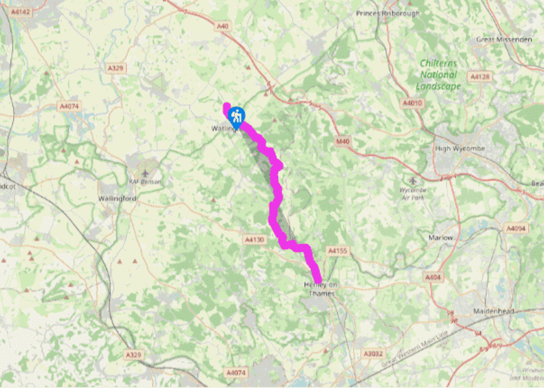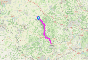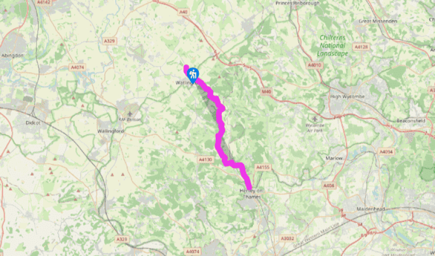
Oxfordshire Way: Pyrton to Henley-on-Thames
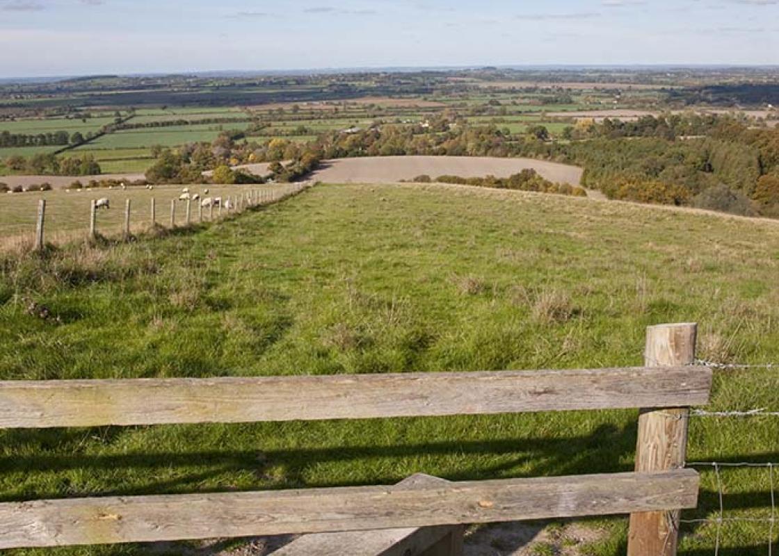
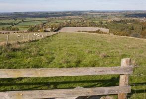
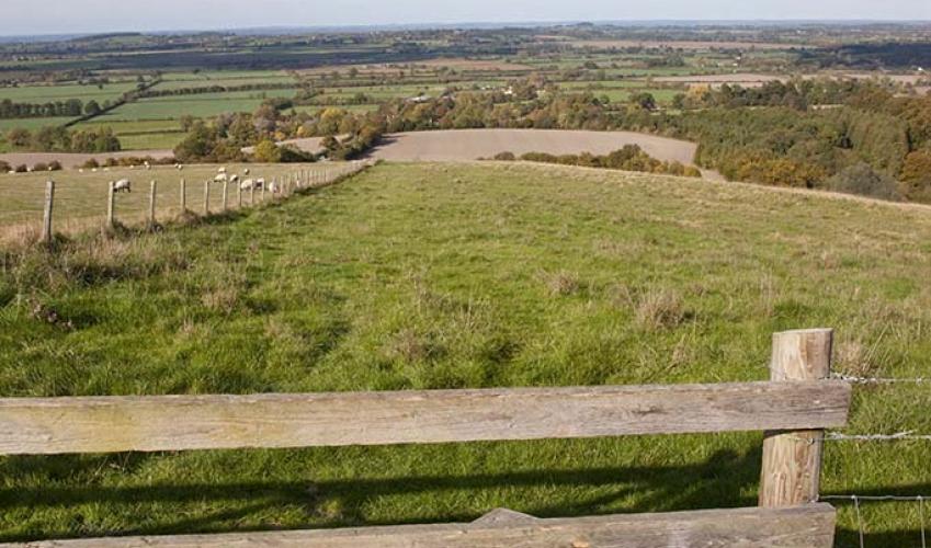
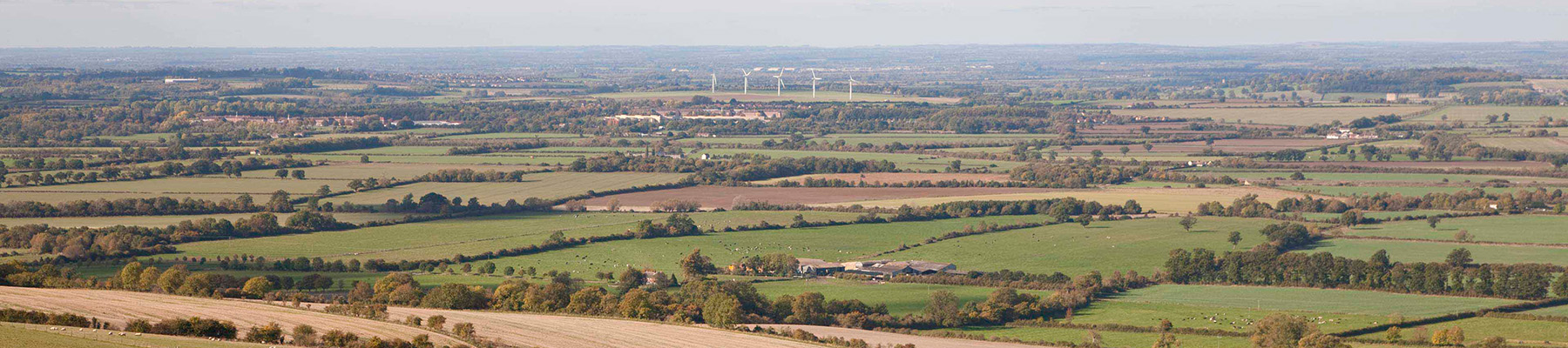
The Oxfordshire Way crosses the B4009 and heads along a bridleway under the gaze of the Chiltern Hills. This track is a medieval droveway, which soon crosses ancient Icknield Way, one of the oldest trading routes in Britain, and here used by the Ridgeway Path. Beyond this you mount the steep Chiltern scarp on to Pyrton Hill. Watlington Hill, with its famous viewpoint, is on the right. The track skirts a great beech hanger and, as it gains height, the whole clay vale is spread out below, with Oxford itself hovering in the distance.
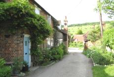
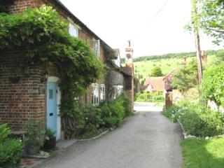
At the minor road, turn right into Christmas Common. This place came by its name during the Civil War. Christmas 1643 found Royalist soldiers camping here and the local Roundhead force garrisoned at Watlington. They declared an unofficial truce, in true Christmas spirit, and celebrated the day together on the common.
Christmas Common is on the summit of the Chilterns, about 780ft (238m) above sea level, and the Oxfordshire Way has climbed about 375ft (114m) since crossing Icknield Way. From here it bears left into Queen Wood. Exiting the wood at a tarmac drive, do not go straight across on the footpath but turn right onto the drive for 100m until the entrance to Queen and College Woods, where The Oxfordshire Way veers left. Here, the path goes downhill to enter the Chiltern Forest, not a former royal forest but an ancient woodland, and winds along the valley floor for about a mile (1.6km), through beech woods.

Been on this walk?
Send us photos or a comment about this route. Or recommend a route of your own.

Walking in Safety
Read our tips to look after yourself and the environment when following this walk.

Get an AA guide
Explore our range of ‘50 Walks in’ guides - they’re the ideal companion for a ramble.
Been on this walk?
Send us photos or a comment about this route. Or recommend a route of your own.
Walking in Safety
Read our tips to look after yourself and the environment when following this walk.
Get an AA guide
Explore our range of ‘50 Walks in’ guides - they’re the ideal companion for a ramble.
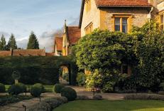
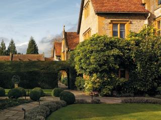
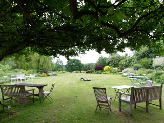
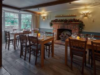
Nearby places to stay
View all (8)