Additional information
Terrain
- Roads, tracks, field and woodland paths, several stiles
Landscape
- Mixture of rolling hills and wooded valleys
Dog friendliness
- On short lead at all times within reserve
Parking
- Room to park in vicinity of Pudding Stones
Toilets en route
- Warburg Nature Reserve Visitor Centre
About the walk
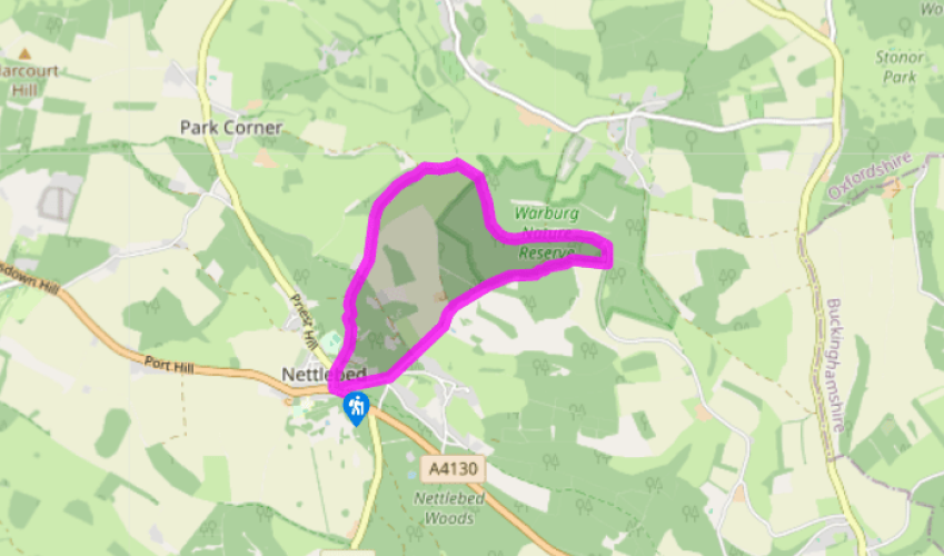
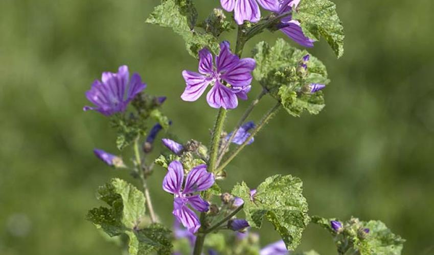
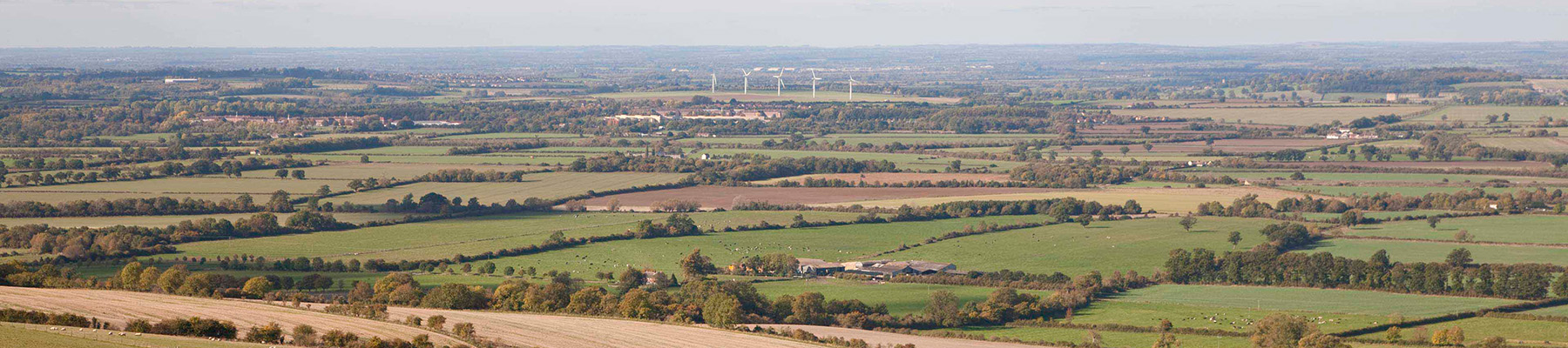
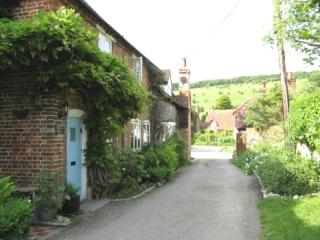
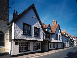
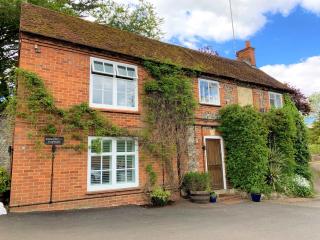
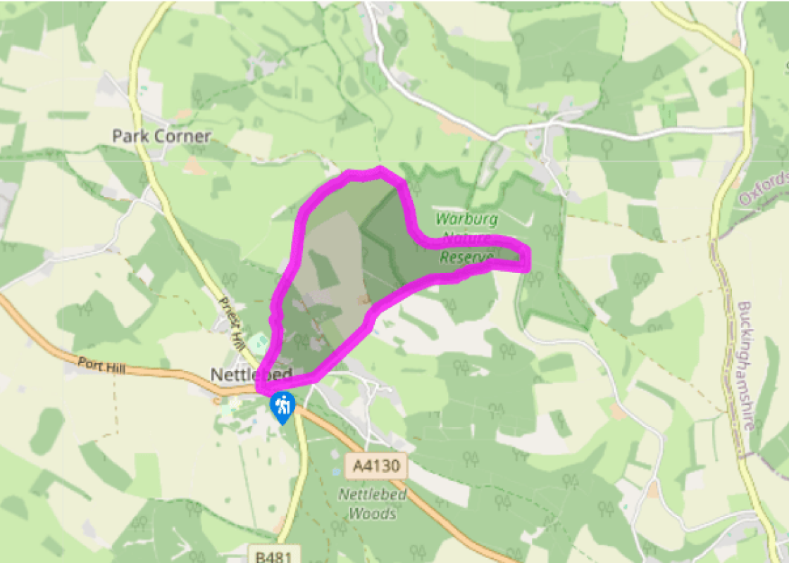
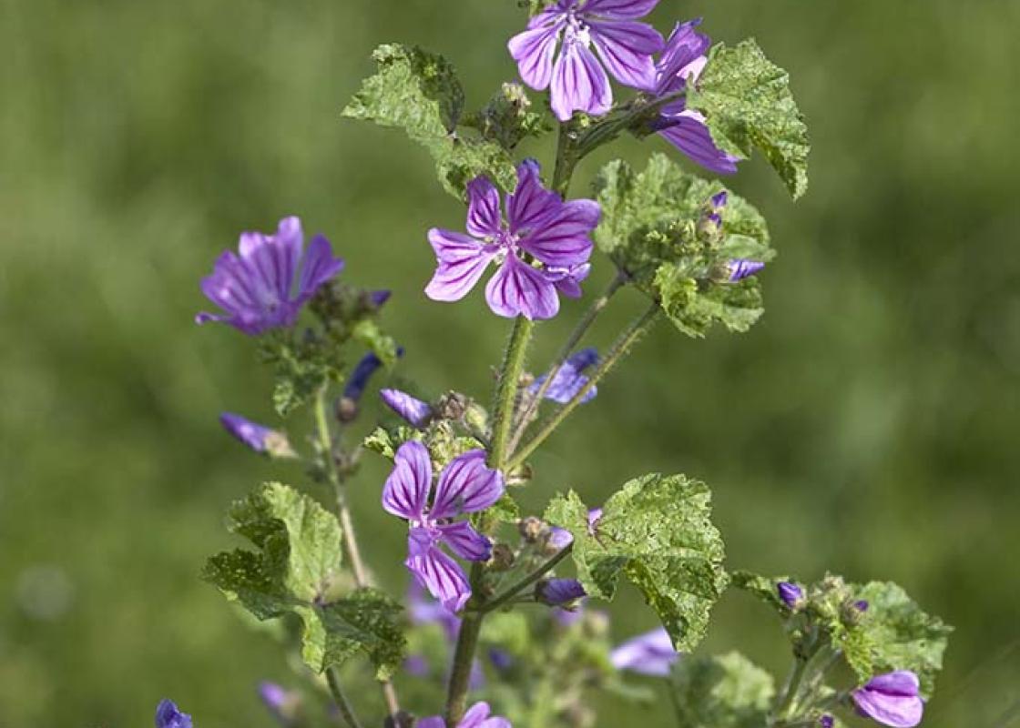
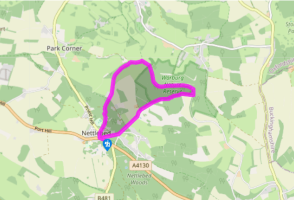
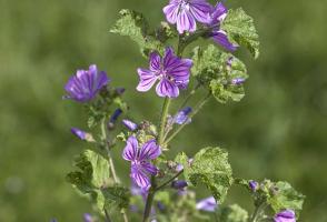
he village of Nettlebed, where the walk starts, grew up as a stop on the Roman road between Henley and Oxford. The White Hart was a coaching inn, and it is said that Elizabeth I stayed here on her travels. Tiles and bricks were manufactured in the village for around 600 years, and you can see them... in the houses along the High Street, as well as the medieval almshouses at Ewelme. Sand was transported from here to Henley in the 17th century for the development and manufacture of lead-crystal glass. Today, there is little evidence of an industrial past, but one of the original 18th-century bottle kilns survives, a curiosity later adapted for the burning of lime, and restored in the 1970s. The nearby Warburg Nature Reserve, a Site of Special Scientific Interest (SSSI), is a haven of woodland and grassland, which includes a wide variety of wildlife and a nature trail. Named after an Oxford botanist, the reserve lies either side of a dry, winding valley. The pooling of cold air along the valley floor means that from time to time very hard frosts strike this delightful, though remote, corner of the county. Covering 262 acres (106ha) and acquired in 1967, Warburg is the largest reserve managed by the Berks, Bucks and Oxon Wildlife Trust (BBOWT). Its mix of partly ancient woodland, scrub and flower-rich grassland has helped to establish the site as a major visitor attraction in the area in recent years. Warburg is especially famous for its flora, with more than 450 species of plants recorded, including 15 wild orchids. Forty kinds of butterfly have been spotted here too, as well as 450 moths and 950 fungi. Lizards, snakes, adders, dormice, moles, hares, deer, bats and badgers are also known to inhabit the reserve. If you have the time, call into the very informative visitor centre, and sit in the adjoining bird hide and watch all manner of creatures visiting the pond. You could even extend this walk by following the reserve’s popular Wildlife Walk eg: A circular Wildlife Walk (1 mile) following the badger waymarkers. A number of trees within Warburg have been felled to create a graded interface between the grassy rides and the woodland. This produces one of the richest wildlife habitats here – attracting a wide variety of butterflies, including the dark green fritillary, the comma and the speckled wood. The felled trees leave spaces where sunlight can penetrate, with the remaining trees acting as windbreaks.
Read more
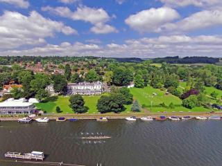
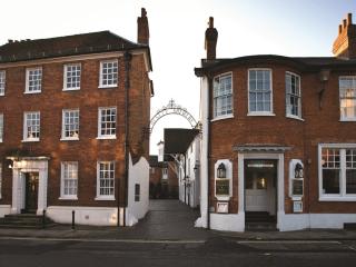
Oxfordshire
Located at the heart of England, Oxfordshire enjoys a rich heritage and varied scenery, with Oxford’s elegant streets a highlight for visitors. The landscape encompasses open chalk downland, picturesque rivers and attractive villages, while northwest of Oxfordshire is home to the sleepy backwaters of Abingdon, Wallingford, Wantage, Watlington and Witney that reveal how Oxfordshire’s old towns evolved over the centuries.