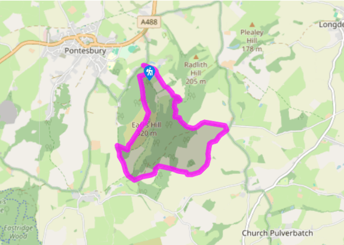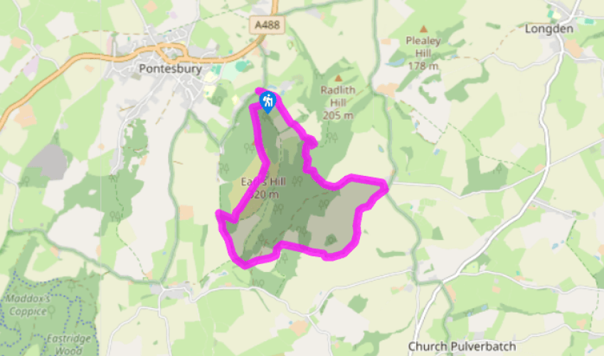
A climb up Earl's Hill
Take a bridleway that runs beyond the timber vehicle barrier. Go left at a fork and in a few paces descend to a gate half-hidden below the bank on your left. Bear right across a field to join a track. Turn right, following the bridleway past The Fishpools and on through farmland.
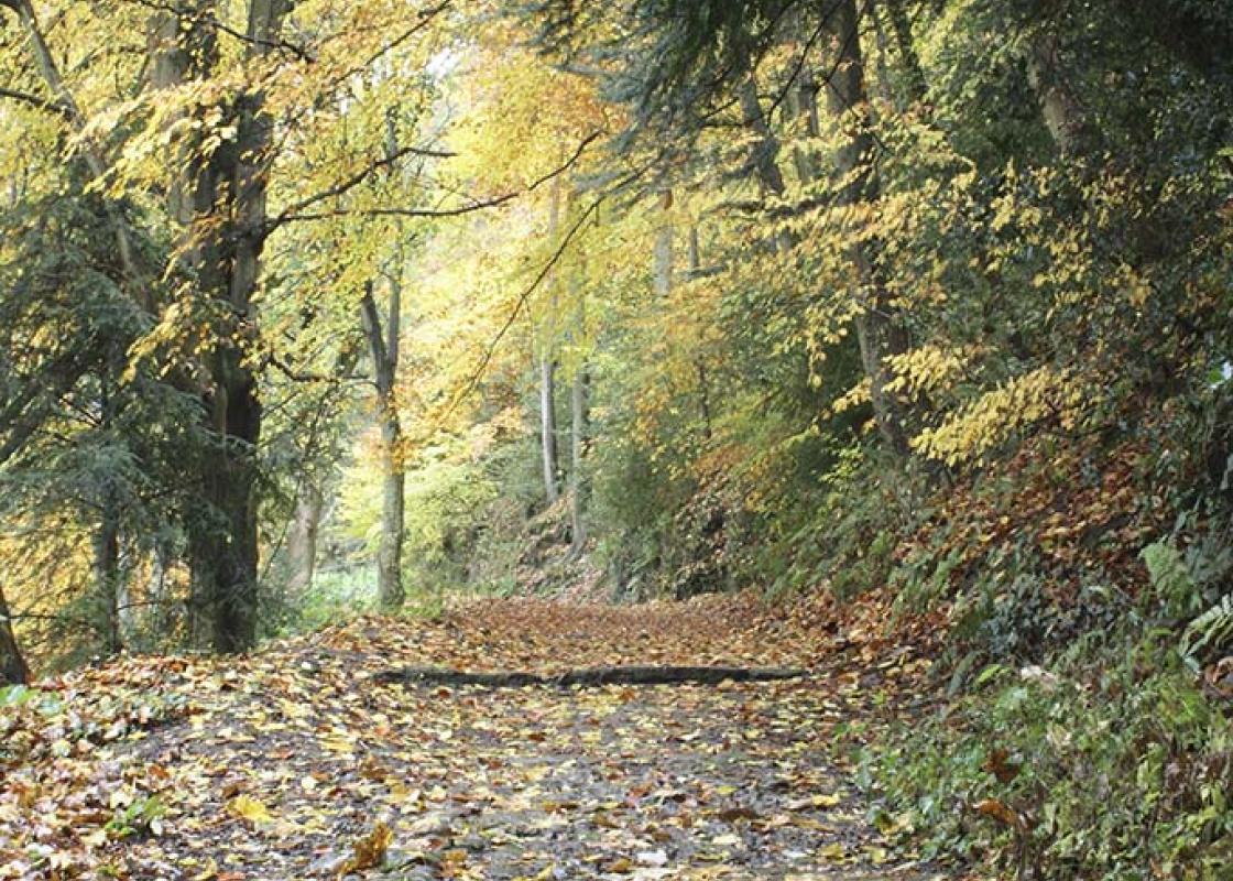
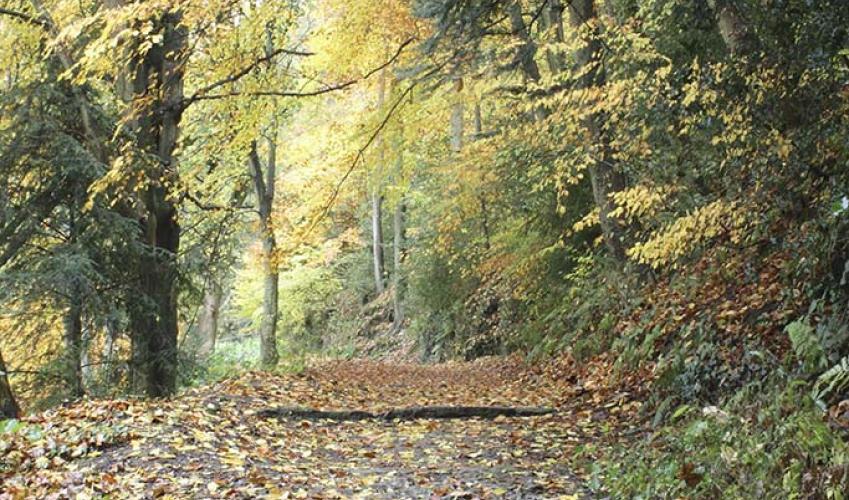
Turn left by Earl’s Hill Barn and descend through oakwoods above the steep valley of Habberley Brook. Turn right to cross the brook at a footbridge. Bear right uphill, through mixed woodland and plantations to a T-junction and track (bridleway marker). Turn right and follow the main track, soon curving left. Follow it until there’s a field on the left. Where the main track makes a sharp turn back right, leave it to continue along the (sometimes muddy) bridleway, following a hedged track towards the hamlet of Oaks.

Been on this walk?
Send us photos or a comment about this route. Or recommend a route of your own.

Walking in Safety
Read our tips to look after yourself and the environment when following this walk.

Get an AA guide
Explore our range of ‘50 Walks in’ guides - they’re the ideal companion for a ramble.
Been on this walk?
Send us photos or a comment about this route. Or recommend a route of your own.
Walking in Safety
Read our tips to look after yourself and the environment when following this walk.
Get an AA guide
Explore our range of ‘50 Walks in’ guides - they’re the ideal companion for a ramble.
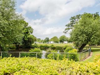
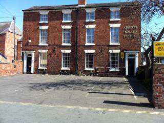
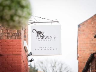
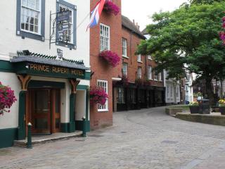
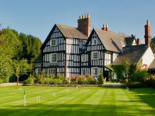
Nearby places to stay
View all (8)

- Launderette
- Ice pack facility
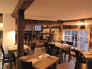
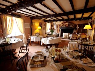
- Cafe/Restaurant
- Picnic Area