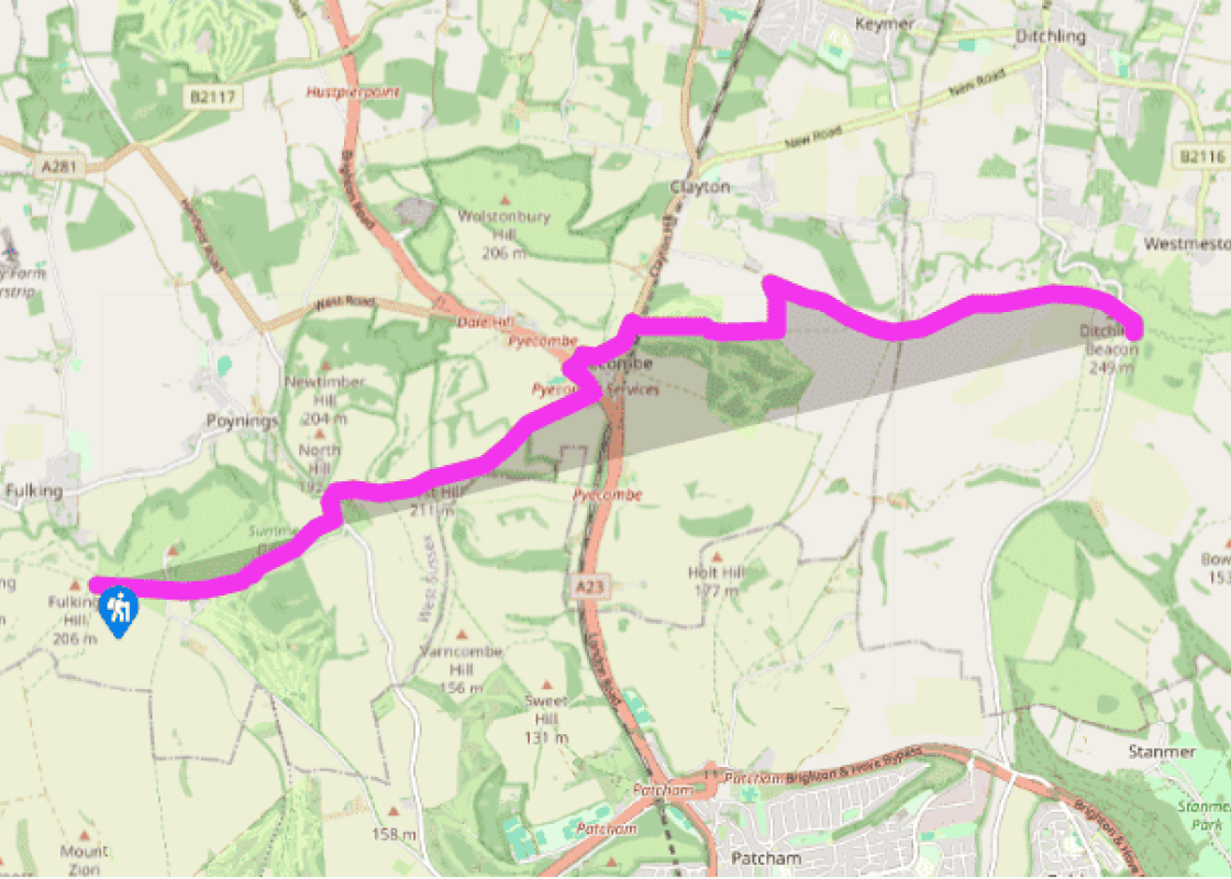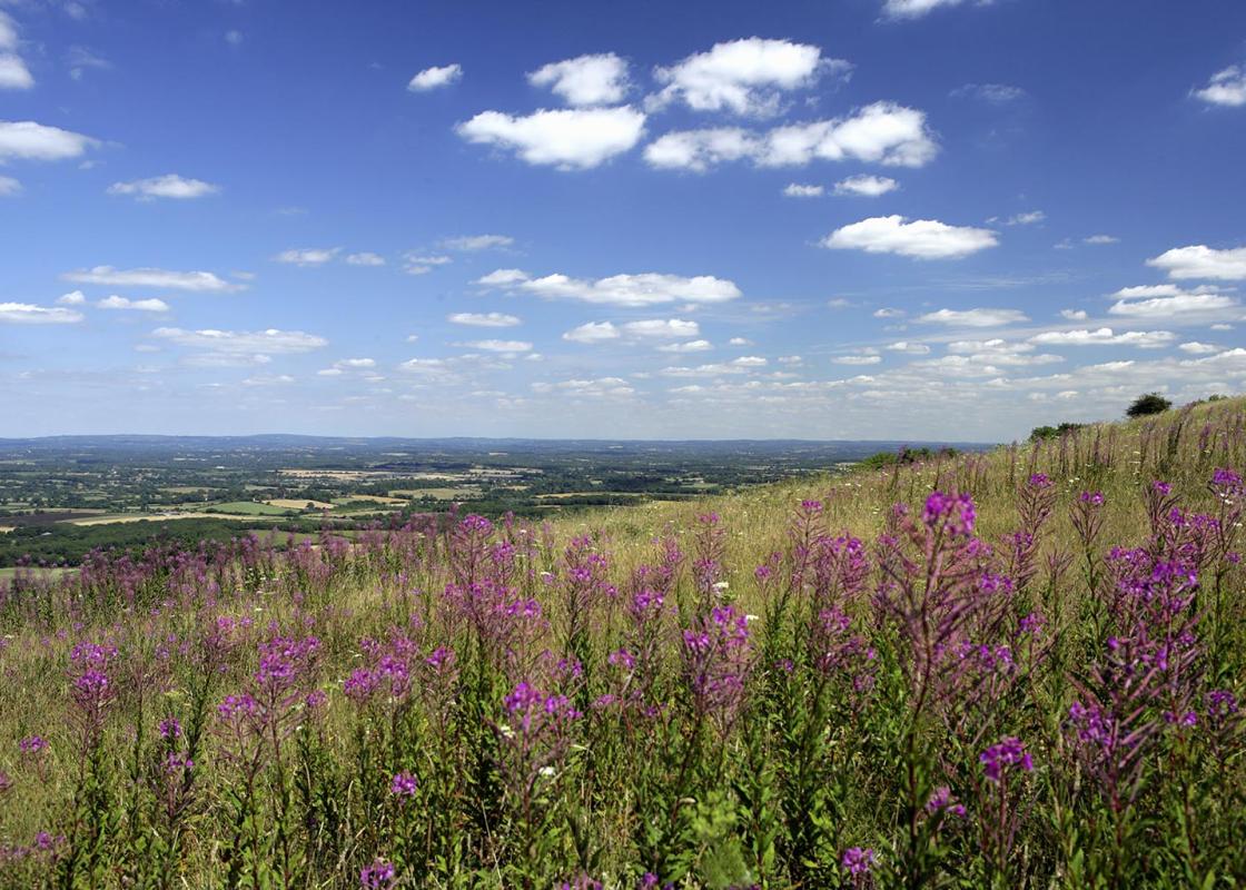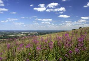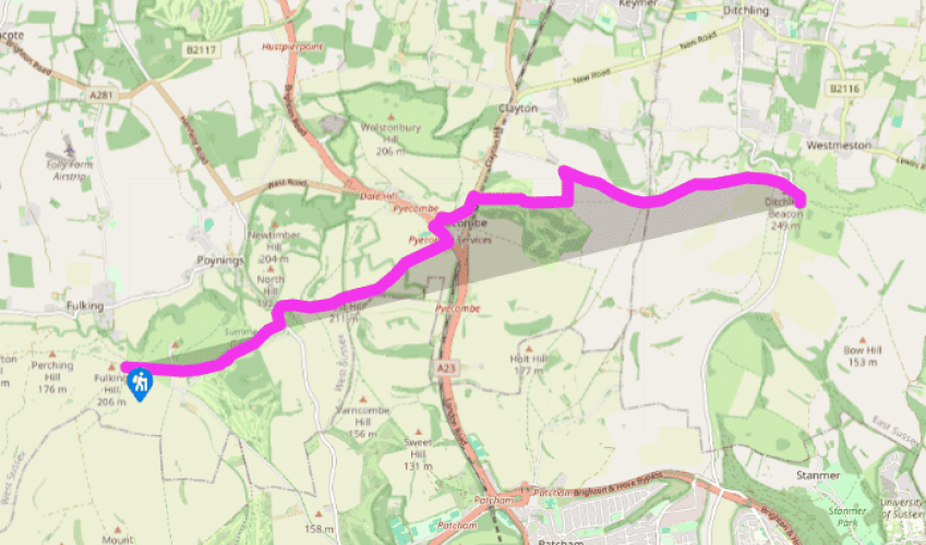
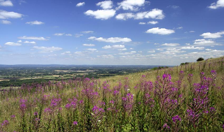
South Downs Way: Fulking Hill to Ditchling Beacon
Beyond Fulking Hill, the route goes over open grassland towards the isolated Devil’s Dyke pub at the top of Devil’s Dyke, above the village of Poynings and its 13th-century church.
The route crosses a narrow road which connects the pub to the outside world and continues to the right of the hill fort ramparts with the dyke below to the left. A funicular railway used to bring tourists to the pub, then a hotel, and a large direction board shows the many viewpoints that can be seen on a clear day from the summit. The SDW now follows the open grass top, staying south of the Iron Age hill fort and WWII pillbox, onto the hamlet of Saddlescombe, once the site of a Knights Templars house.

Been on this walk?
Send us photos or a comment about this route. Or recommend a route of your own.

Walking in Safety
Read our tips to look after yourself and the environment when following this walk.

Get an AA guide
Explore our range of ‘50 Walks in’ guides - they’re the ideal companion for a ramble.
Been on this walk?
Send us photos or a comment about this route. Or recommend a route of your own.
Walking in Safety
Read our tips to look after yourself and the environment when following this walk.
Get an AA guide
Explore our range of ‘50 Walks in’ guides - they’re the ideal companion for a ramble.
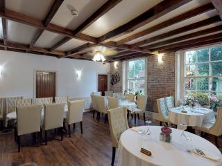
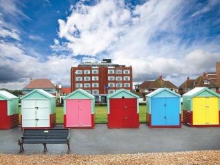
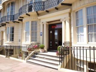
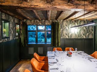
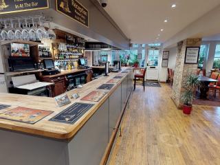
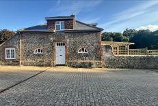
Nearby places to stay
View all (8)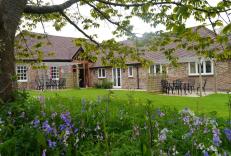
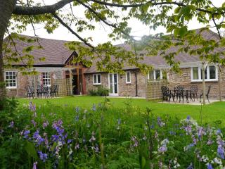
- Total units: 2
- Lawn area
- Garden furniture
- Dish washer
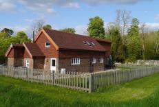
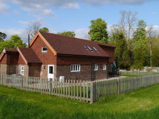
- Total units: 1
- Private garden
- Lawn area
- Garden furniture