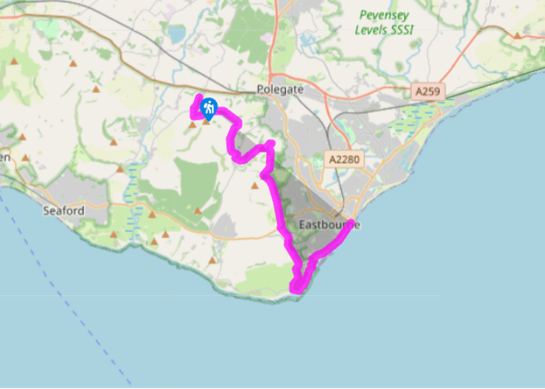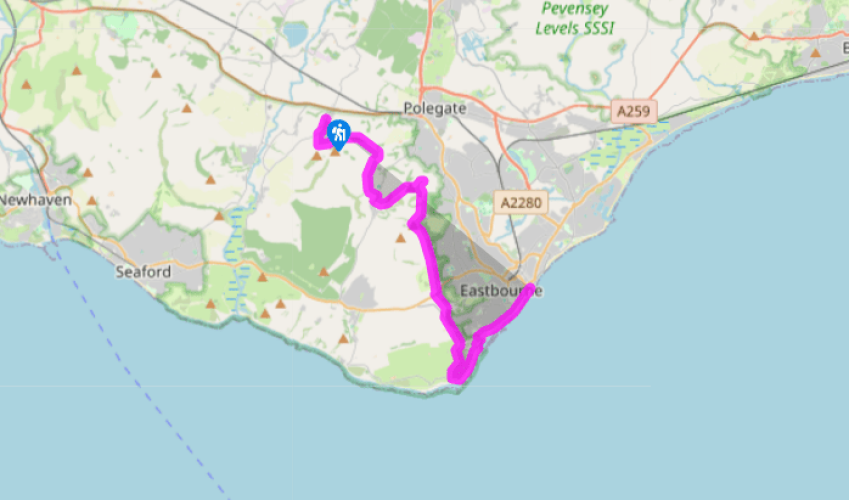
Wealdway: Wilmington to Eastbourne
Start at the car park at the top of the village street. Beyond the ruins of Wilmington Priory, the path to the Long Man starts opposite the entrance to the car park.
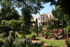
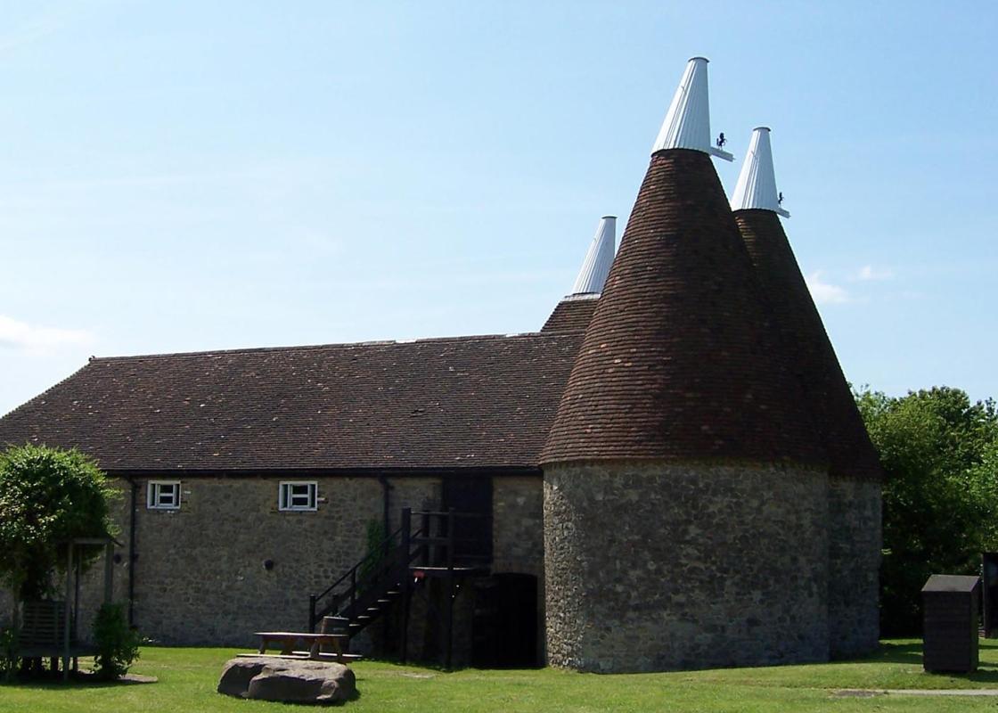
The Benedictine Priory at Wilmington was founded in the 11th century as a possession of the abbey of Grestain in Normandy. It was seized by the Crown during the wars with France and came into the hands of the Dean and Chapter of Chichester. After a period as vicarage and farmhouse, it was
given to the Sussex Archaeological Trust in 1926.
The Long Man of Wilmington, standing 226ft (69m) high, is the largest hill figure in the country but very little is known of his origins. It is possible that he is a representation of Balder, the Norse god of spring. In 1874, the outline of the figure was carefully lined in white bricks and he is now, like the priory, in the good care of the Sussex Archaeological Trust.
From the foot of the Long Man, the Wealdway follows a fine, terraced path along the side of the Downs escarpment, high enough above the Weald to command a panoramic view, with the waters of Arlington reservoir clearly visible. After a mile (1.6km), you will reach Folkington, home of yet another tiny
church, surrounded by trees, tucked under the Downs at the end of a quiet cul-de-sac.
A clear track, once an old coach road, follows an undulating route, still hugging the downland foothills, for another 1.5 miles (2.4km) to Jevington.

Been on this walk?
Send us photos or a comment about this route. Or recommend a route of your own.

Walking in Safety
Read our tips to look after yourself and the environment when following this walk.

Get an AA guide
Explore our range of ‘50 Walks in’ guides - they’re the ideal companion for a ramble.
Been on this walk?
Send us photos or a comment about this route. Or recommend a route of your own.
Walking in Safety
Read our tips to look after yourself and the environment when following this walk.
Get an AA guide
Explore our range of ‘50 Walks in’ guides - they’re the ideal companion for a ramble.
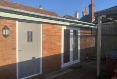
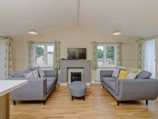
Nearby places to stay
View all (8)