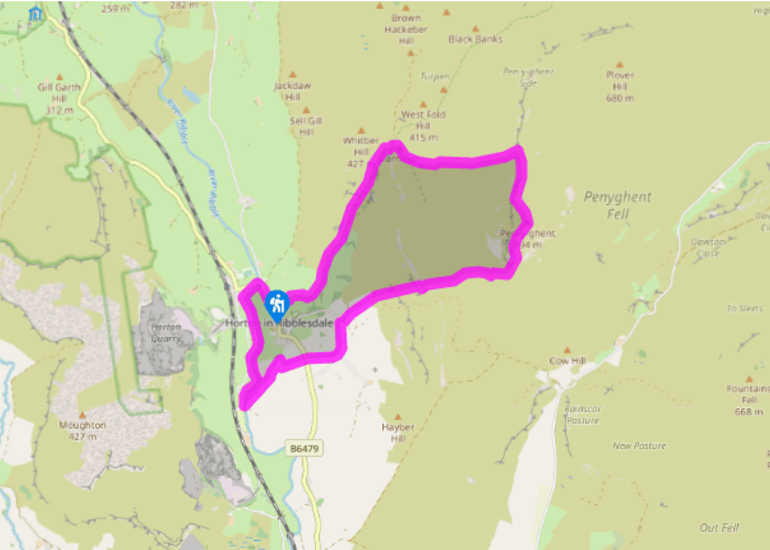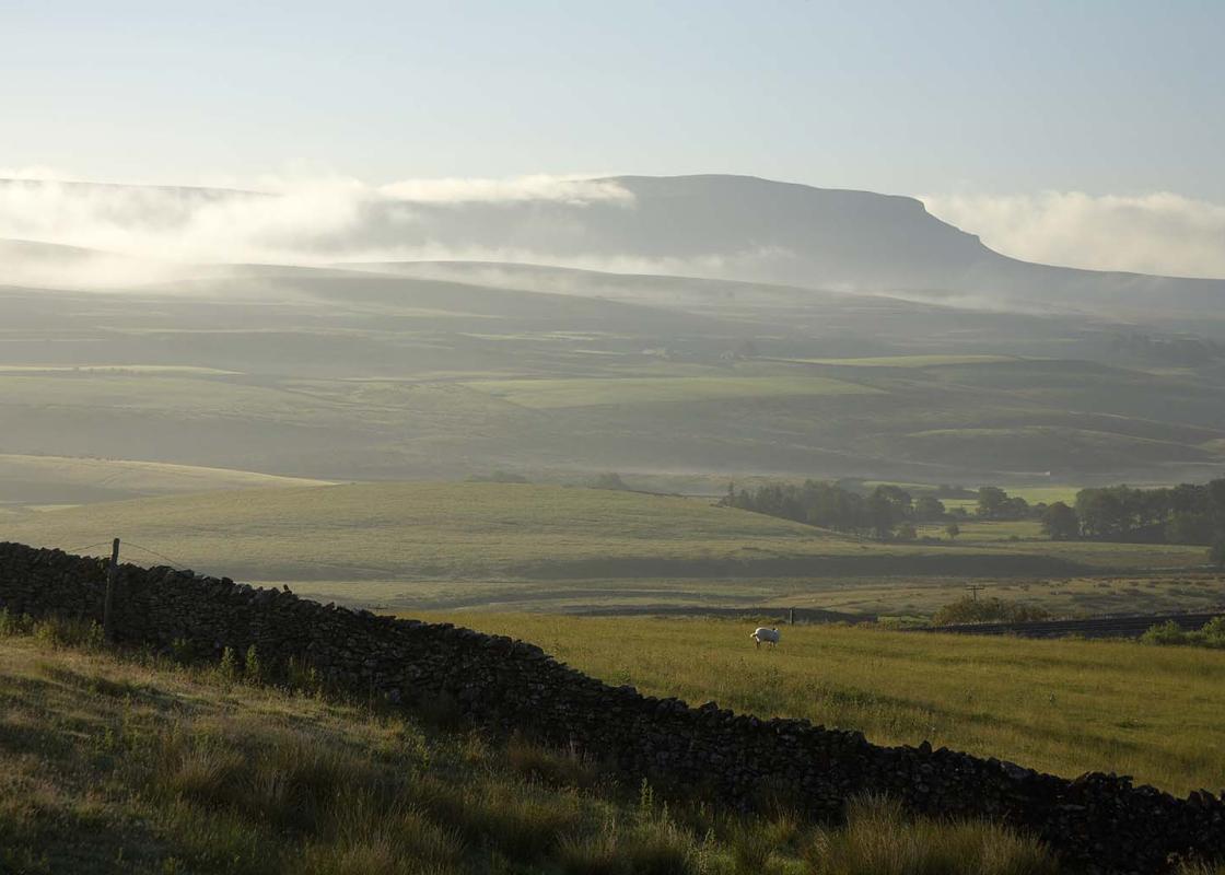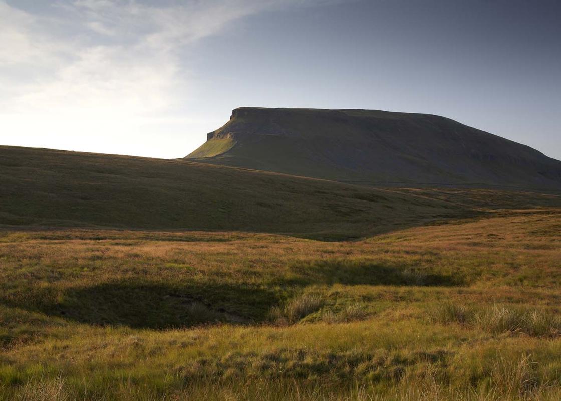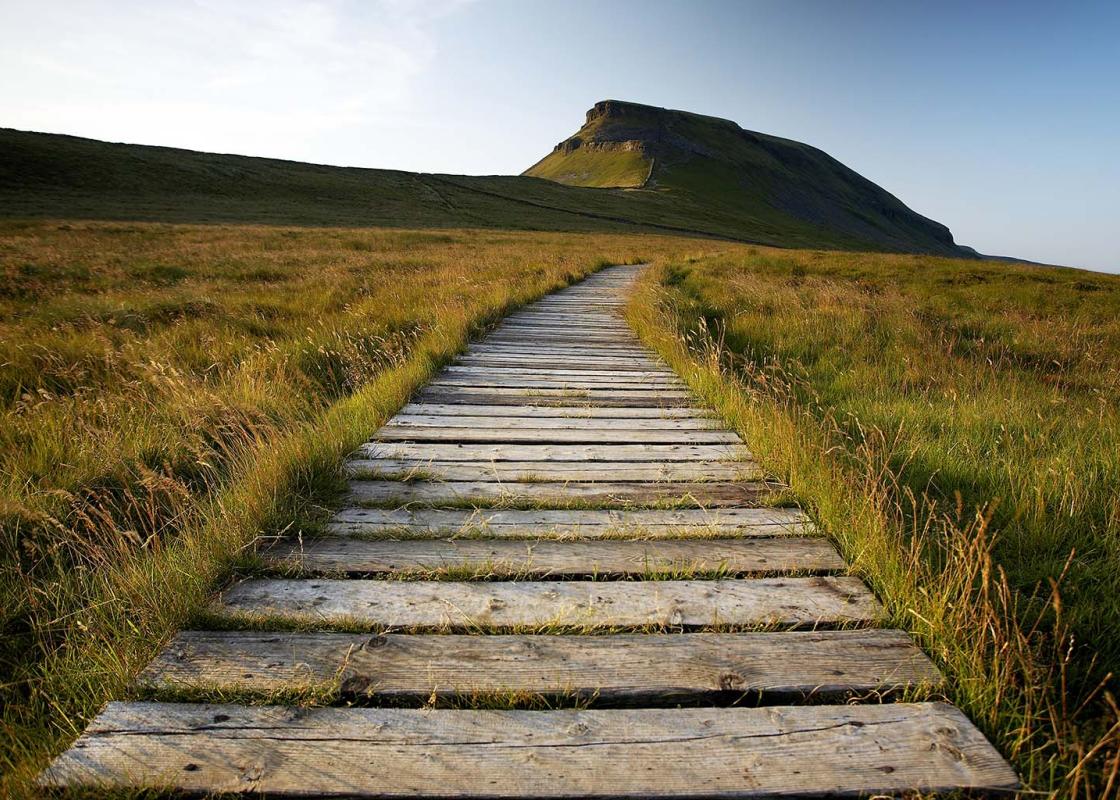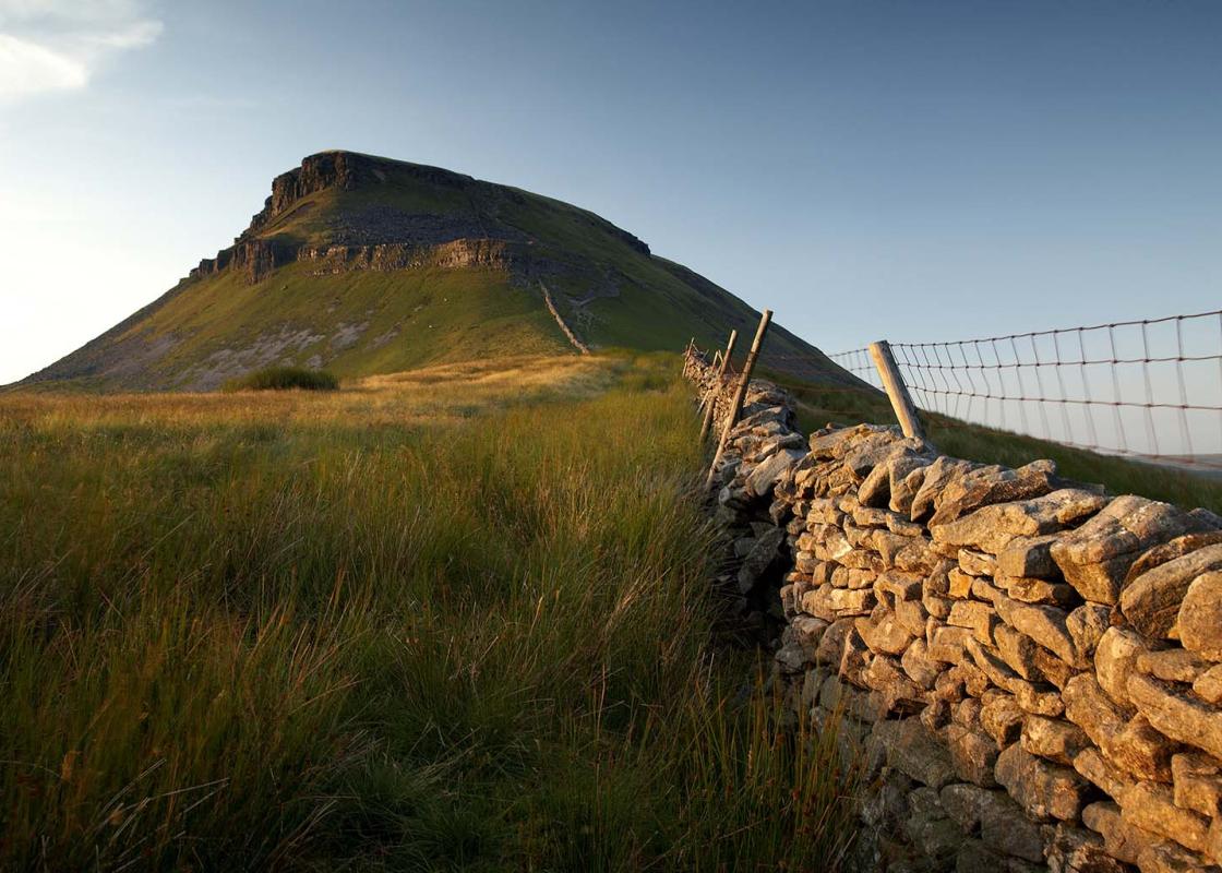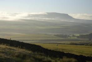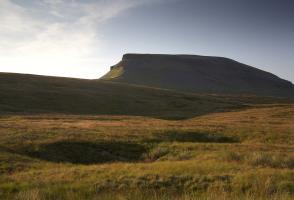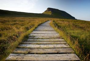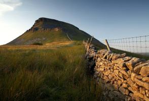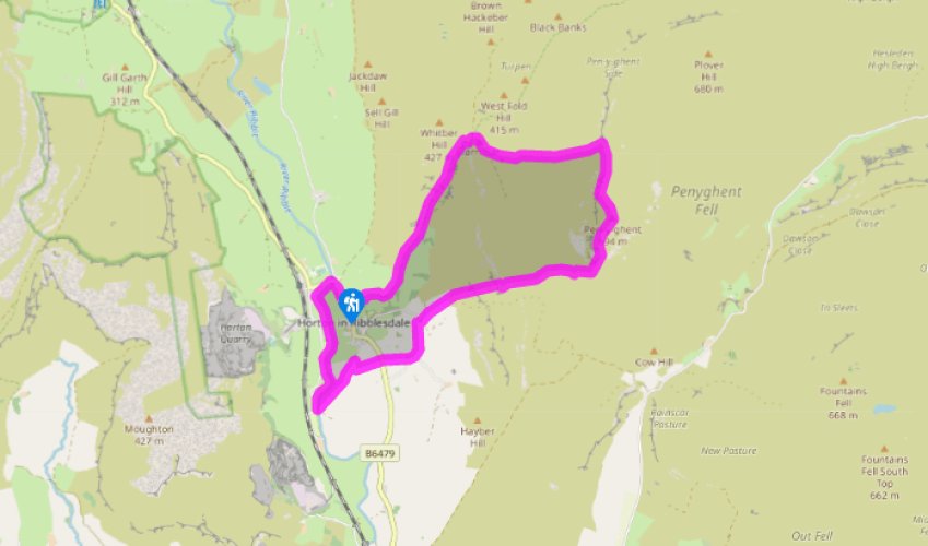
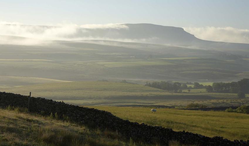
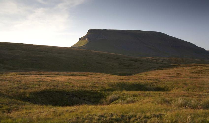
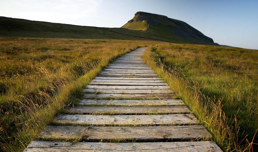
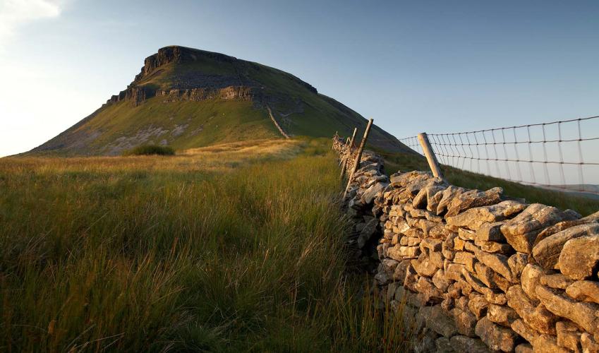
Climbing Pen-y-ghent
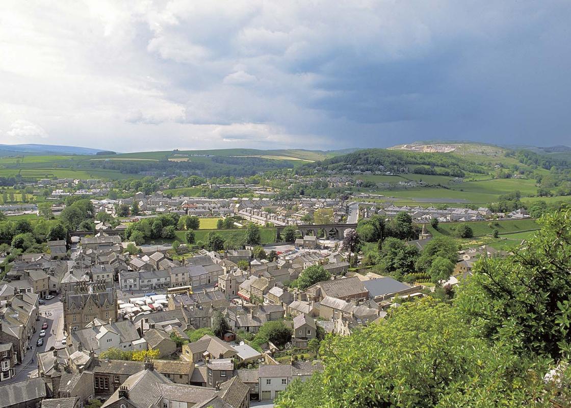
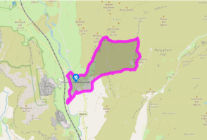
From the car park turn right along the road, about 100yds (91m) beyond, turn left onto a track, following the Pennine Way sign. Go through a gate to a junction of paths and fork left. Follow the walled track through two gates for about a mile (1.6km) to its end.
At the gate at the end of the walled track turn right, following the Pen-y-ghent sign to another gate and stiles. Follow an obvious path across level moorland. After another gate the path climbs again. At a signpost and cairn below limestone crags the path swings right to slant up the slope. Continue in the same direction on the easier upper slopes until the path swings left, more steeply, to the summit at 2,277ft (694m).

Been on this walk?
Send us photos or a comment about this route. Or recommend a route of your own.

Walking in Safety
Read our tips to look after yourself and the environment when following this walk.

Get an AA guide
Explore our range of ‘50 Walks in’ guides - they’re the ideal companion for a ramble.
Been on this walk?
Send us photos or a comment about this route. Or recommend a route of your own.
Walking in Safety
Read our tips to look after yourself and the environment when following this walk.
Get an AA guide
Explore our range of ‘50 Walks in’ guides - they’re the ideal companion for a ramble.

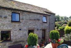
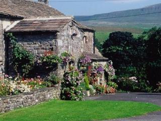
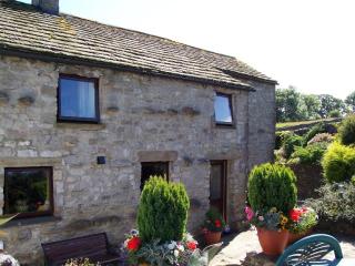
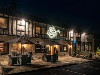
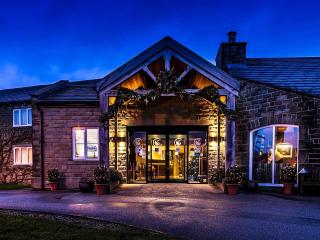
Nearby places to stay
View all (8)

- Total units: 1
- Private garden
- Washing machine
- Sky or freeview