Additional information
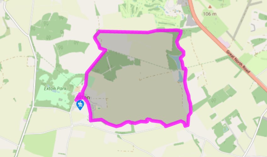
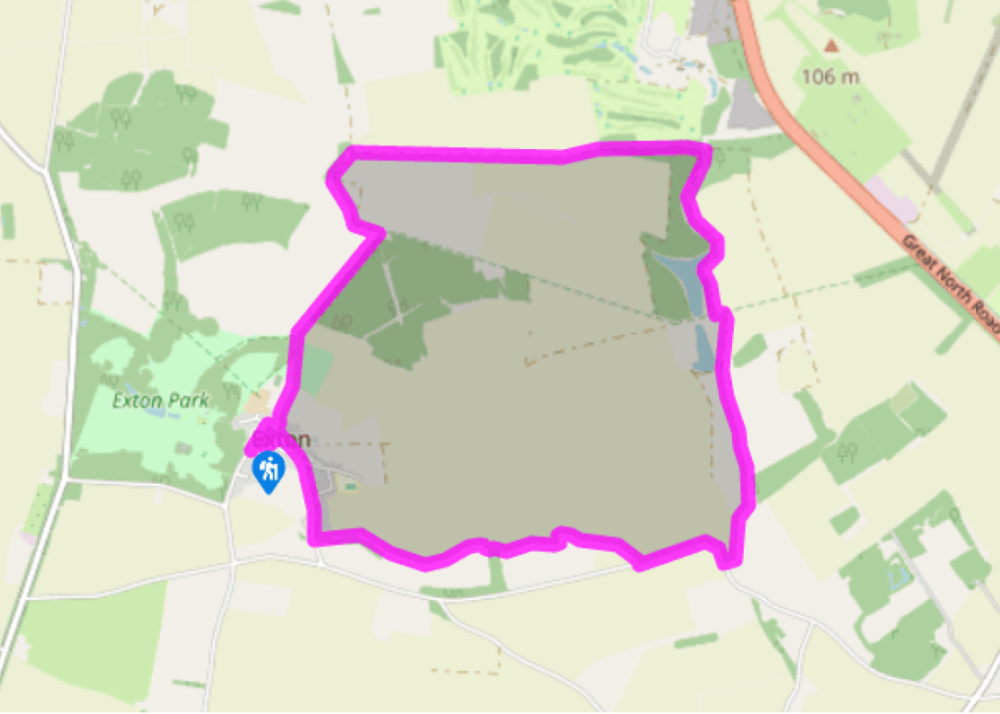
Terrain
- Mainly field paths and firm farm tracks, several stiles
Landscape
- Open and undulating fields and parkland, mixed woodland
Dog friendliness
- Reasonably good, but on lead around livestock on Exton estate
Parking
- Roadside parking on The Green, Exton
Toilets en route
- None on route (nearest at Rutland Water Visitor Centre)
About the walk
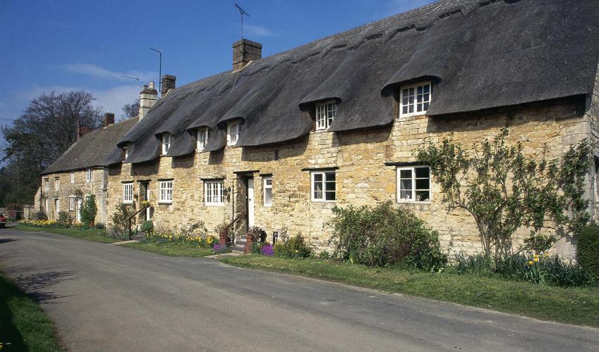
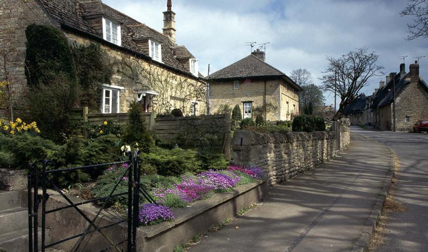
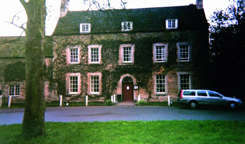
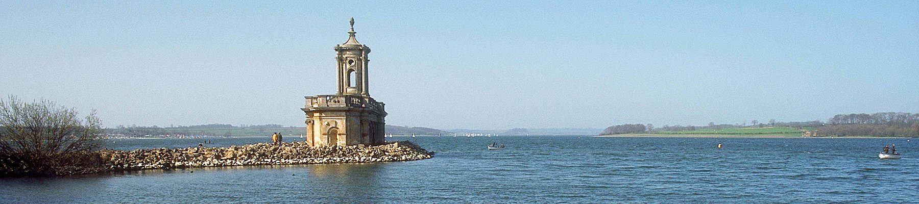
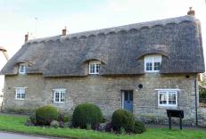
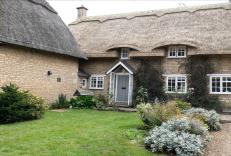
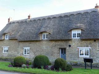
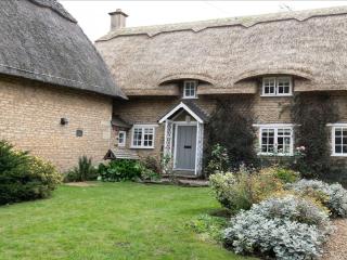
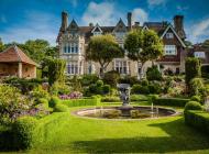
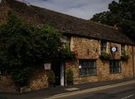
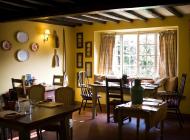
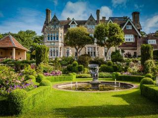
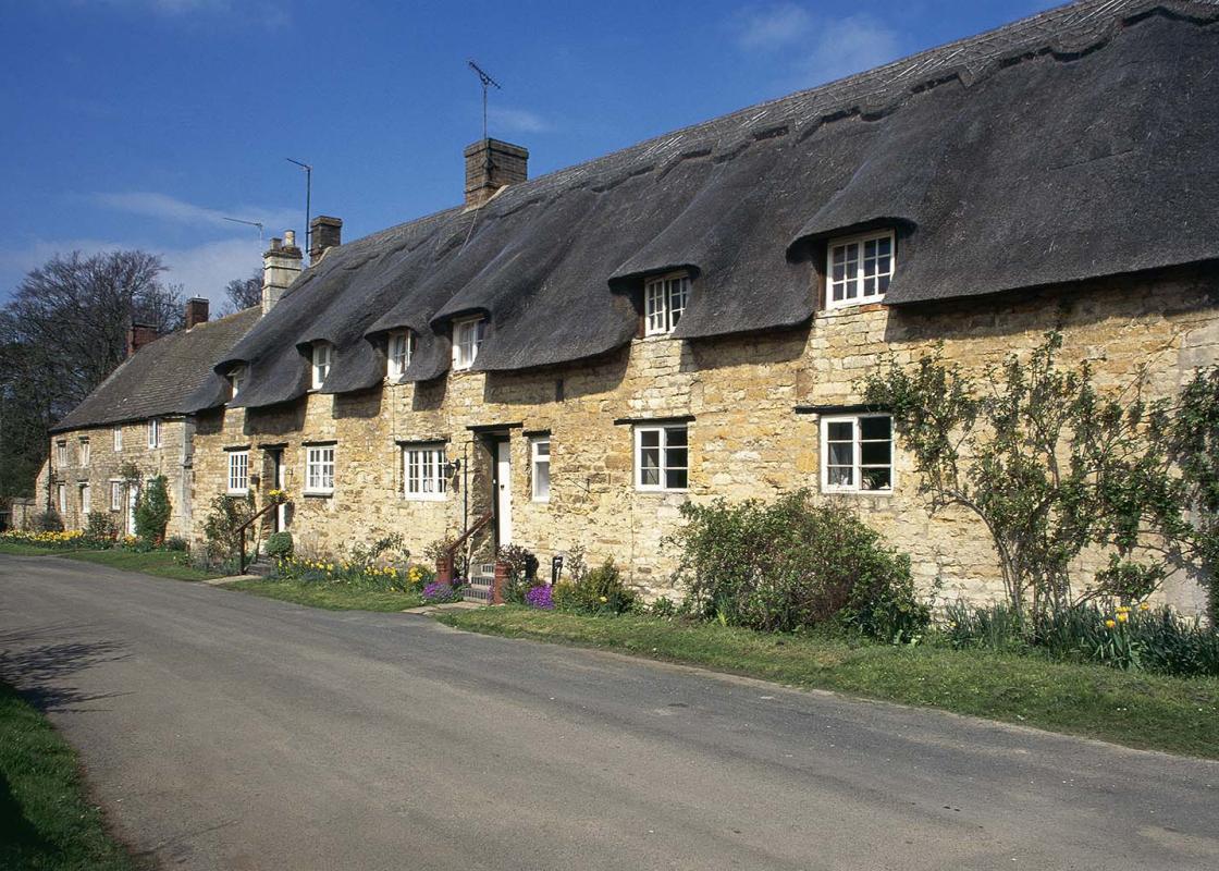
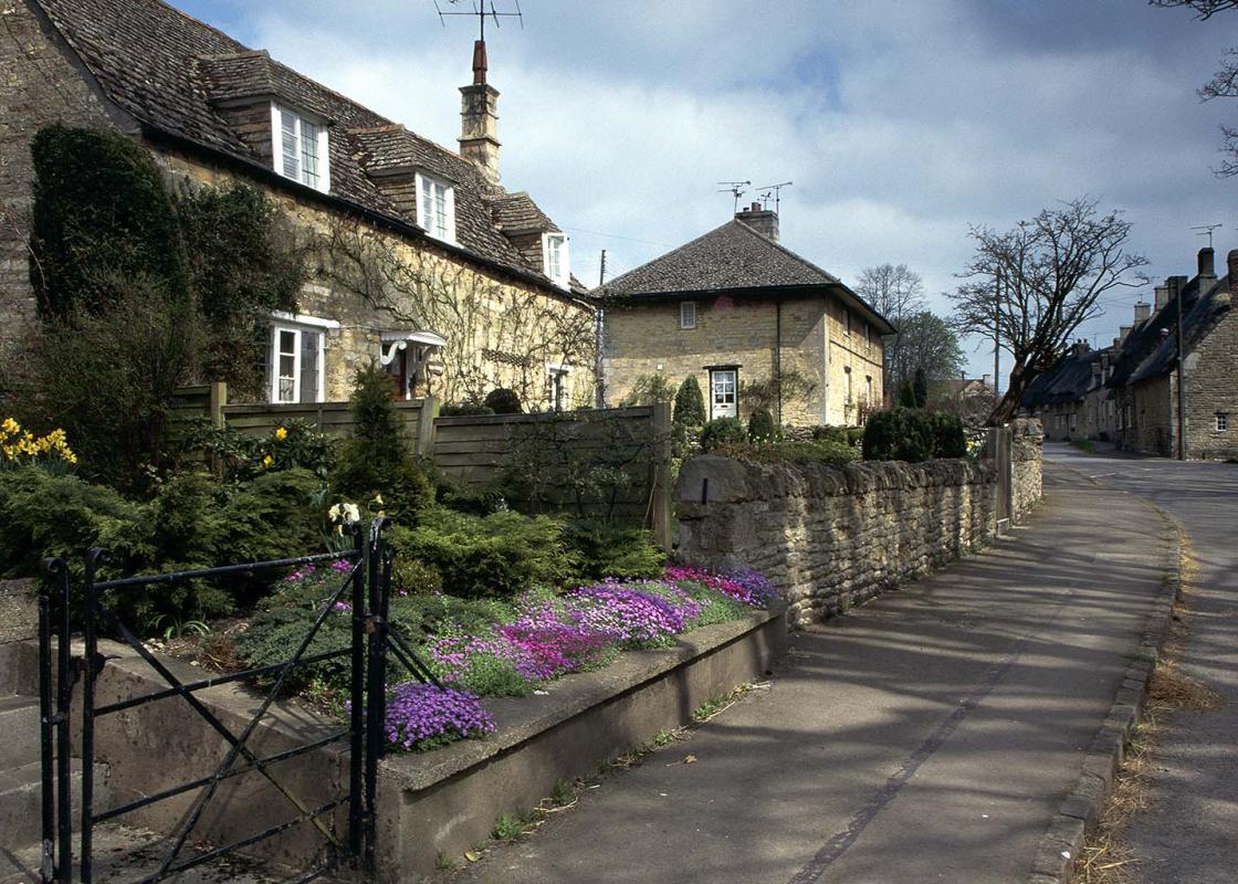
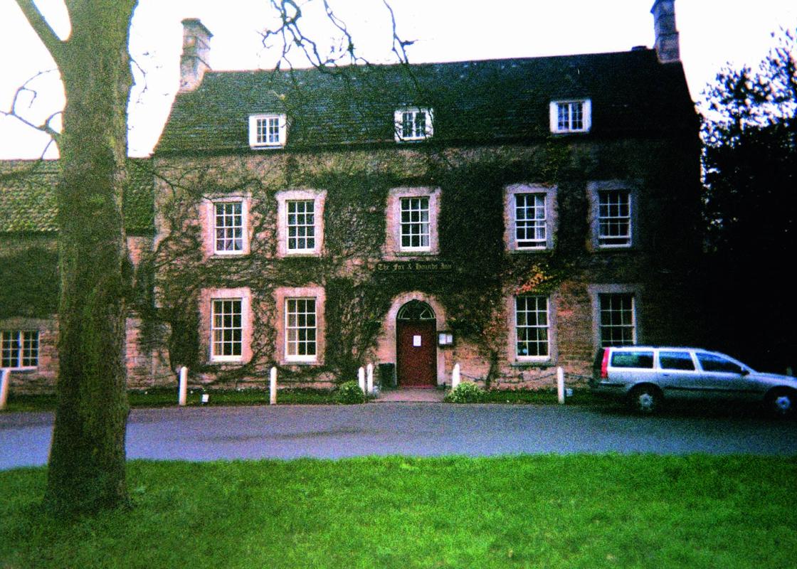
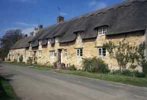
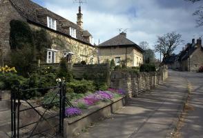
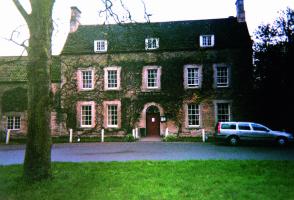
Located a couple of miles north of Rutland Water, Exton is a picturesque village of ironstone and thatched cottages laid out around a green ringed by mature sycamore trees and overlooked by the attractive, tall, creeper-covered village pub. There has been a community here since Norman times, and... once the manor belonged to King David of Scotland. Since then it has changed hands a number of times, finally passing to the Noels, Viscounts Campden, Earls of Gainsborough, in the 1620s. The family still owns neighbouring Exton Hall, which was built to replace the Old Hall after it was largely destroyed by a fire in 1810. The ruins of the Old Hall are inside the grounds (accessible to the public from the road to the south) close to the Church of St Peter and St Paul, which itself was struck by lightning in 1843, causing the spire to collapse. Despite some of the original work being lost, most of the fine monuments survived, including some medieval sculptures and various tombs. Also look out for the giant memorial by the master carver Grinling Gibbons to the 3rd Viscount Campden, his fourth wife and 19 children, which is considered something of a rarity since Gibbons is far better known for working in wood rather than stone. The film Little Lord Fauntleroy (1980) was shot on location in Exton and featured, among other places, the village church. Exton's glorious grounds The grounds and parkland were mainly developed in the late 17th century by the 6th Earl of Gainsborough, when water features, such as cascades, artificial ponds and streams, were created (proving that landscaper gardeners were at it 300 years before any television makeover show you could mention). Among the ornamental follies on the estate is an elaborate Gothic summer house that dates from the late 18th century. It is known as Fort Henry, and overlooks Fort Henry Lake, which you will see halfway round the walk. Behind it, until quite recently, stood the even more bizarre Bark Temple, an elaborate wooden structure that not surprisingly has rotted away over time. Rutland: a county in miniature Measuring less than 20 miles (32.4km) across, Rutland has a resident population of around 37,000, and apart from Oakham and Uppingham most of its inhabitants live in tiny villages and hamlets like Exton. The county's name possibly derives from the 11th-century word 'Roteland', denoting the red colour of the soil in the east of the region; or it could have been part of the estate belonging to an early landowner called Rota. For many years this tiny place was in the hands of either the Crown or the Church, but in 1974 local government reorganisation ended its independence and relegated it to a mere district of Leicestershire. Happily that decision was reversed in 1997, and Rutland is once more England's smallest county, whose Latin motto Multum in Parvo means 'so much in so little'.
Read more