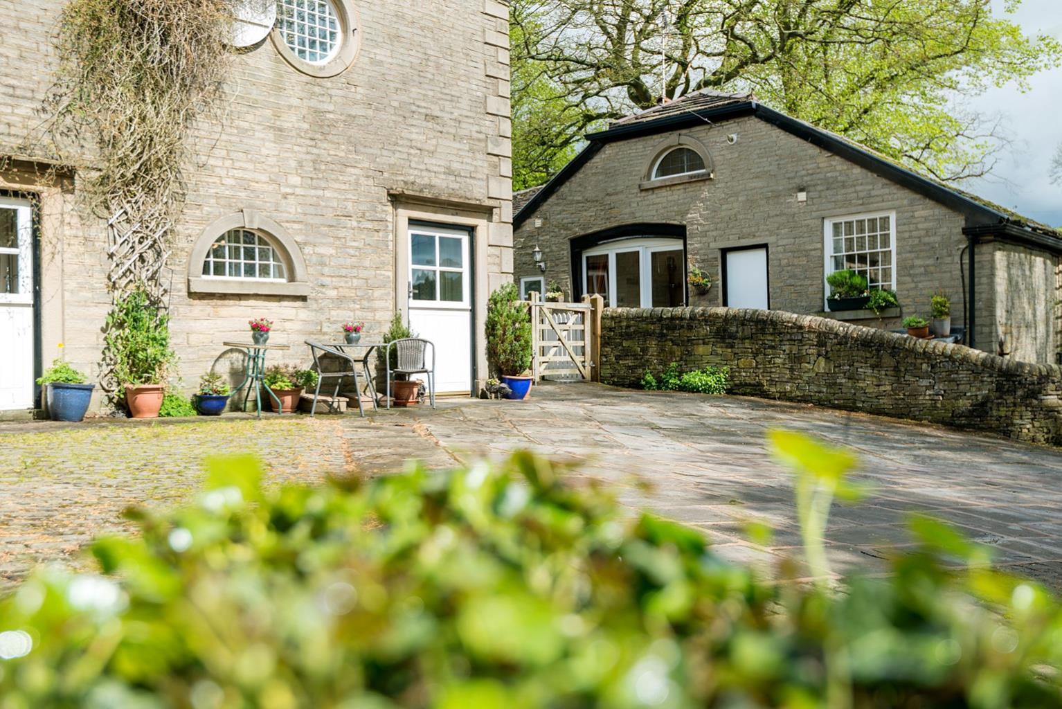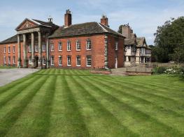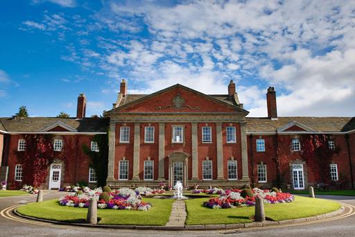


Mottram Hall
Set in 272 acres of some of Cheshire's most beautiful parkland, this 18th-century Georgian…

Discover a famous Cheshire landmark and plenty of history and legend.
Alderley Edge
3.25 miles (5.3kms)
There's a lot to take in at Alderley Edge, on the ground, under the ground and even – many believe – in other dimensions entirely.
As long as 4,000 years ago, there was mining activity here, using tools of wood and stone. Mining went on through Roman times but reached its greatest intensity in the 19th century. Copper and lead were the main products, though various other ores were also worked.
Alderley Edge is as rich in legend as it is in minerals. In fact it is probably true that it is rich in legend because of its long history of exploitation. Old shafts and levels or overgrown heaps of spoil can mystify later generations and inspire speculation. Also, working underground, especially in the fickle light of tallow candles or primitive lamps, seems to stimulate the imagination. Waves of immigration, such as those of Cornish miners, imported new layers of legend too.
The most famous legend of the area is alluded to in the names of the Wizard Inn and Wizard's Well, both passed on this walk. Hidden somewhere on the Edge is a cave, guarded by a wizard, in which an army of men and horses sleeps, ready to emerge and save the country when the need is dire. No one has found this cave (though it must be a big one) but you can see the wizard, or at least an effigy, carved in the rocks above the Wizard's Well.
This story, and the general air of mystery which often pervades The Edge, especially on a misty day with few people about, have inspired many of the books of local author Alan Garner, of which the best known is The Weirdstone of Brisingamen (1960).
The walk itself is largely through woodland. In fact the wooded aspect of Alderley Edge is relatively recent. The demand for fuel, building timber and pit props, ensured that the area was cleared of its trees from the Bronze Age onwards. The local landowner, Lord Stanley, began extensive plantings in the mid-18th century and today the National Trust manages the woodlands carefully. Although Alderley Edge is elevated above the surrounding countryside, its wooded nature means that distant views are rarely unobstructed. From the crest of Castle Rock there is a broad window to the north, towards Manchester with the Lancashire hills beyond, while at Stormy Point the view opens to the east, towards the Peak District.
There are exceptions to the woodland rule. Behind Sand Hills, in the earlier part of the walk, there are shady, damp areas with many orchids, and pools fringed by yellow iris and reed mace (the tall club-headed reed often wrongly called the bulrush). As you near the end, you will be walking though open farmland.
Leave the car park towards the Wizard Inn and Tea Room, turning right along the drive. Beyond a gate and National Trust works yard, take the second path left, which climbs beside Engine Vein. At the top, go right to the next junction and then left. The path curves around to the road by Beacon Lodge.
Cross to a gate opposite and follow the ongoing path into Windmill Wood. Reaching a clearing, keep left, drifting parallel to the boundary. Some 100yds (91m) beyond an interpretation sign, go right at the edge of the more open Sand Hills. At a junction by the corner of a field, turn right and then bear left past a small pool. At another junction before a field gate, go right past another pool. Through a gap, continue within a narrow hedged strip to the road. Take the path opposite, forking right towards the end onto the top of Castle Rock.
Return to the fork and take the other branch, descending steps to a crossing path. Some 100yds (91m) to the left, you'll find the Wizard's Well. Return, but this time, pass the steps and continue below the cliffs of Castle Rock. Before long, a path merges from the right. At a fork just beyond, bear left down steps, dropping across the wooded hillside. Over a small bridge, the path rises to the Holy Well. Up steps beyond, gain height below more crags to a T-junction. Go left, shortly reaching another junction at Stormy Point.
Turn right past the viewpoint, keeping ahead at a fork. Approaching a gate, turn left on a descending path. Following waymarkers to Hare Hill, keep right at a fork and drop to a junction. Go right into a wooded ravine and climb away to the left. Levelling, the path winds on through the wood, later passing above Clock House Farm to reach a junction at the edge of the wood.
Over the stile there, head away by the right-hand field-edge. Keep going between ponds and swing left beside a hedge to another stile. A contained path leads to a track, which rises to a gate. Walk right to another stile and then climb left to a gate and track by Edge House Farm. Over the stile opposite, follow a narrow path between the fields. Back in the woods, go left. Opposite the maintenance yard, a path through a gate on the left cuts the corner of a field back to the car park.
Woodland tracks and paths, some field paths, many stiles
Woodland, scattered sandstone crags, some farmland
On lead on farmland and always under close control
OS Explorer 268 Wilmslow, Macclesfield & Congleton
Large National Trust pay-and-display car park off B5087, closes 5.30pm
At car park
Read our tips to look after yourself and the environment when following this walk.
Nestled between the Welsh hills and Derbyshire Peaks, the Cheshire plains make an ideal location to take things slow and mess around in boats. Cheshire has more than 200 miles (302 km) of man-made waterways, more than any other county in England. The Cheshire Ring is formed from the Rochdale, Ashton, Peak Forest, Macclesfield, Trent and Mersey and Bridgewater canals. This route takes you through a lot of Cheshire, and bits of other counties as well.
While exploring the county’s waterways, covering ground on foot or admiring the typical white plaster and black timber-frame houses, make sure to have a taste of Cheshire’s most famous produce. Although Cheddar has become Britain’s most popular cheese (accounting for over half of the cheese sales in the UK), it was once Cheshire cheese that was in every workman’s pocket back in the 18th century. Its moist, crumbly texture and slightly salty taste mean it goes well with fruit, peppers or tomatoes. As well as the usual white, there are also red and blue veined varieties.
Discover more than 15,000 professionally rated places to stay, eat and visit from across the UK and Ireland.
Choose a place to stay safe in the knowledge that it has been expertly assessed by trained assessors.
Search by location or the type of place you're visiting to find your next ideal holiday experience.
Read our articles, city guides and recommended things to do for inspiration. We're here to help you explore the UK.