Bleaklow's peatlands
Recommended by

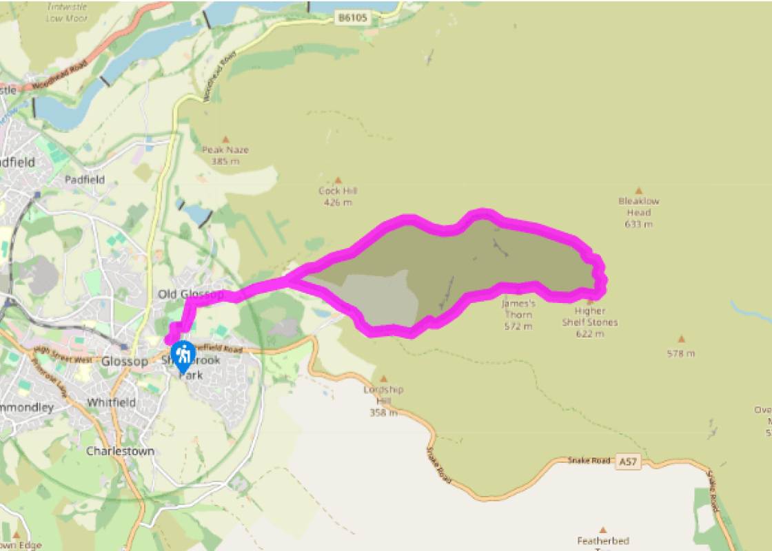
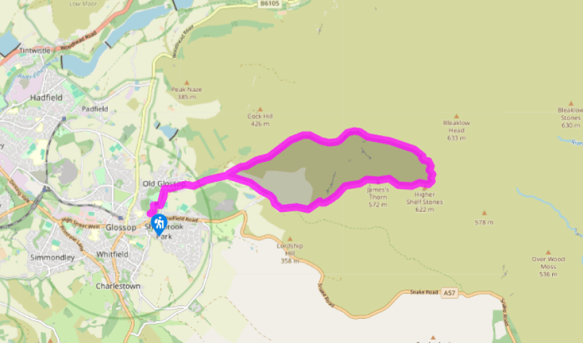
Walk directions
From the car park, cross a bridge and walk through Manor Park, passing the café to emerge on to Manor Park Road. Turn left towards Old Glossop and then right along Shepley Street, passing a factory, to a bus turning circle. Continue eastwards on a farm track, between the partially wooded dome of Shire Hill on the right and the wooded slopes of Edge Plantation on the left.
On reaching a gate, leave the track through a kissing gate on the left. The path, confined at first by a fence and dry-stone wall, climbs northeast on a pastured spur overlooking the curiously named but pleasant craggy valley of Shittern Clough. In the upper reaches and beyond a second kissing gate, the now well-defined path continues the climb through bilberry bushes and then over the heather of Upper Lightside.
View all directions
Additional information
Terrain
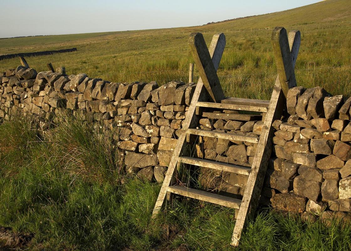
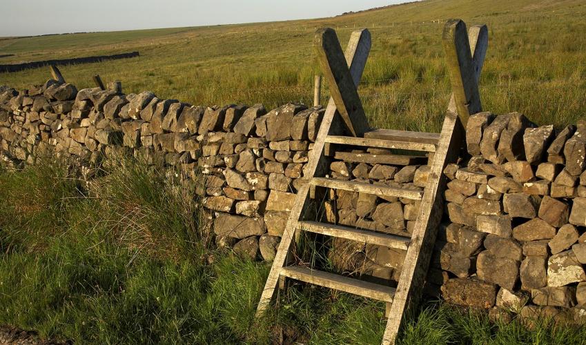
- Unsurfaced tracks and sometimes indistinct moorland paths (good navigation skills advised), several stiles
Landscape
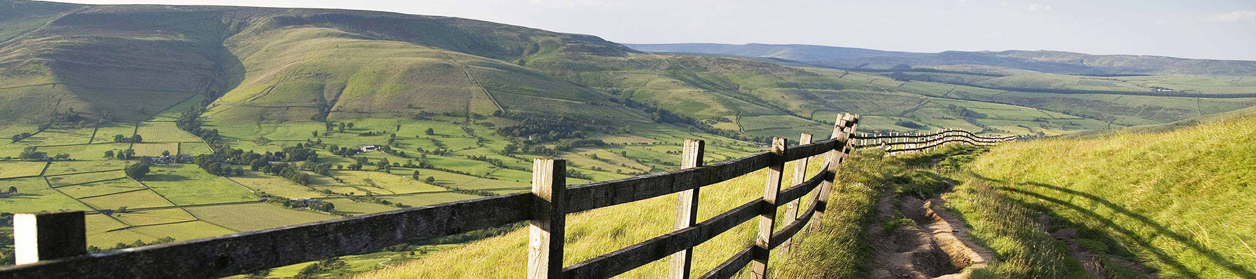
- High peat moor
Dog friendliness
- Walk is on access agreement land; dogs should be kept on lead
Parking
- Manor Park car park, off Glossop High Street East (A57)
Toilets en route
- By Manor Park café
About the walk
Bleaklow’s not so much a hill, more a vast expanse of bare black peat, where even the toughest moor grasses can’t take root. Wainwright once wrote that nobody loved the place, and those who got on it were glad to get off. But there’s another side to Bleaklow. There are corners where bilberries...
Read more

Been on this walk?
Send us photos or a comment about this route. Or recommend a route of your own.

Walking in Safety
Read our tips to look after yourself and the environment when following this walk.

Get an AA guide
Explore our range of ‘50 Walks in’ guides - they’re the ideal companion for a ramble.
Been on this walk?
Send us photos or a comment about this route. Or recommend a route of your own.
Walking in Safety
Read our tips to look after yourself and the environment when following this walk.
Get an AA guide
Explore our range of ‘50 Walks in’ guides - they’re the ideal companion for a ramble.
About the area
The natural features of this central English county range from the modest heights of the Peak District National Park, where Kinder Scout stands at 2,088 ft (636 m), to the depths of its remarkable underground caverns, floodlit to reveal exquisite Blue John stone. Walkers and cyclists will enjoy the High Peak Trail which extends from the Derwent Valley to the limestone plateau near Buxton, and for many, the spectacular scenery is what draws them to the area.
Nearby places to stay
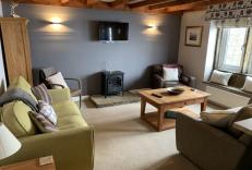
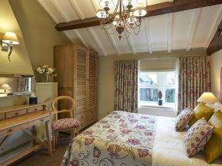
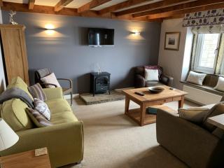
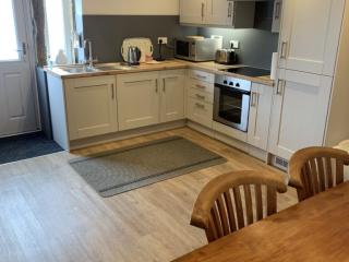
View all (8)Lowes Mill Cottages at Torr Vale Mill
- Total units: 4
- Lawn area
- Garden furniture
- Dish washer


Nearby places to stay
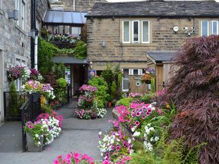
Lowes Mill Cottages at Torr Vale Mill
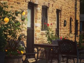
The four historic cottages are converted outbuildings of the Grade II* listed Torr Vale Mill, which was England’s longest continuously working mill, from 1785 to 2000. Set in a deep val...
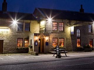
The White Hart Inn Lydgate
Located on top of a hill on the edge of the Pennines, this characterful inn is the perfect combination of modern comfort and traditional style. In the bar, expect wood beams, warm log-b...
Lane Farm Holiday Cottages
Lane Farm Holiday Cottages are on the south facing slope of the beautifully scenic Holme Valley, just below Holme Moss. Mount View (sleeps 6) and Trough Cottage (sleeps 5) have their ow...
Trough Cottage
Awaiting description...
Mount View
Awaiting description...

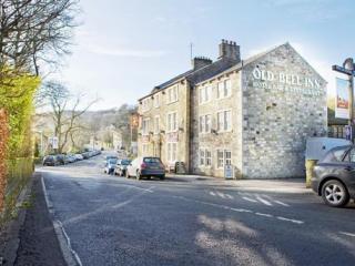
The Old Bell Inn
Formerly a coaching inn dating back to 1835 and situated in a rural village yet close to motorway links, The Old Bell has a quiet ambience allied with refined service. Hospitality is a ...
Riding House Farm Cottages
Riding House Farm offers Shepherd's Cottage and Milkmaid's Cottage. This working farm is 140 acres, and guests can see lambs in spring, visit the calf house and feed the hens. There is ...
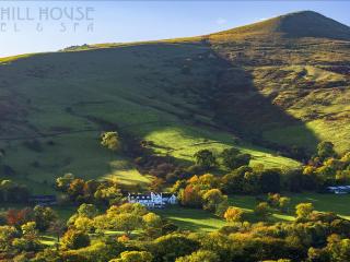
Losehill House Hotel
Situated down a quiet leafy lane, this hotel occupies a secluded spot in the Peak District National Park. Bedrooms are comfortable and beautifully appointed. The outdoor hot tub, with s...
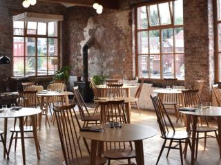
Places to eat nearby View all