Along Catrigg and Stainforth
Recommended by

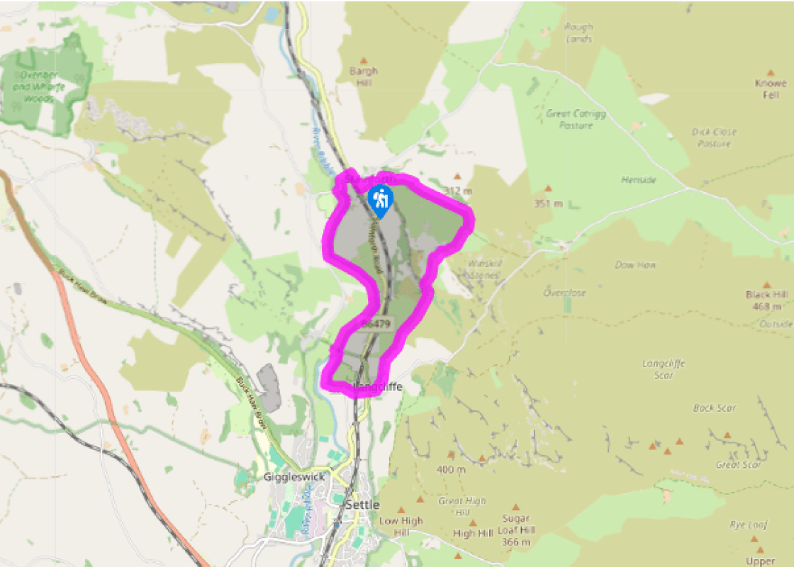
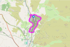
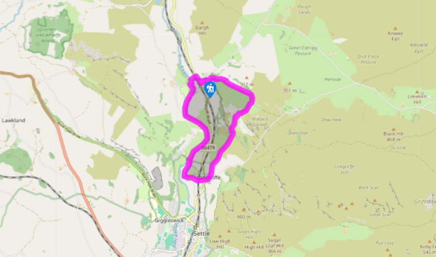
Walk directions
From the car park turn right, then right again, signed 'Settle'. Over the bridge, go immediately left through a gap in the wall. Follow the narrow path to an open area. Go through white posts and turn left. Keep right of the green, then turn right. Follow the track uphill for 0.75 miles (1.2km) to a gate. (To visit Catrigg Force, take a smaller gate to the left, then go left again. Return to the same point.)
After the gate, the track bends right. Go through another gate, then turn right, signed 'Winskill'. Join a track which bears left and runs between walls. At a signpost near the farmhouses, go straight ahead over a cattle grid and down a track signed 'Stainforth and Langcliffe'. Just after a right-hand bend, go left over a stile signed 'Langcliffe'.
View all directions
Additional information
Terrain
- Green lanes, field and riverside paths, some road, 8 stiles
Landscape
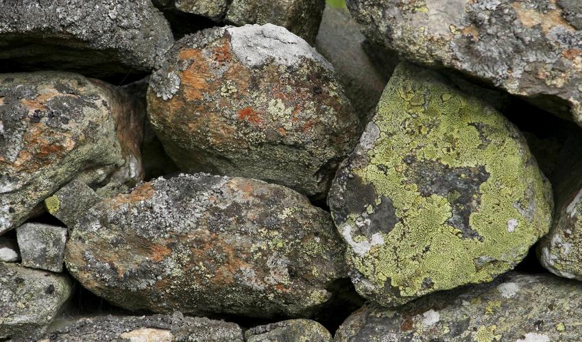
- Moorland, farmland and river meadows with two waterfalls
Dog friendliness
- Can be off lead in walled section up to Catrigg Force
Parking
- Pay-and-display car park in Stainforth, just off B6479
Toilets en route
- At car park
About the walk
Stainforth is set along the Stainforth Beck as it rushes to join the River Ribble. It provides the starting point for many tracks across the moors to the east, once important routes for trade, that crossed the beck at first on the stone ford (which is what 'Stainforth' means) and later by the...
Read more

Been on this walk?
Send us photos or a comment about this route. Or recommend a route of your own.

Walking in Safety
Read our tips to look after yourself and the environment when following this walk.

Get an AA guide
Explore our range of ‘50 Walks in’ guides - they’re the ideal companion for a ramble.
Been on this walk?
Send us photos or a comment about this route. Or recommend a route of your own.
Walking in Safety
Read our tips to look after yourself and the environment when following this walk.
Get an AA guide
Explore our range of ‘50 Walks in’ guides - they’re the ideal companion for a ramble.
About the area
North Yorkshire, with its two National Parks and two designated Areas of Outstanding Natural Beauty, is England’s largest county and one of the most rural. This is prime walking country, from the heather-clad heights of the North York Moors to the limestone country that is so typical of the Yorkshire Dales – a place of contrasts and discoveries, of history and legend.

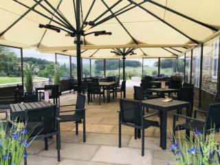
Nearby places to stay
View all (8)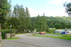
Caravan & Camping
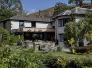
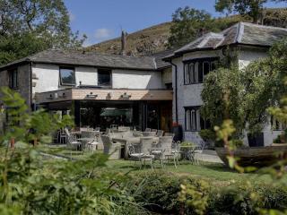
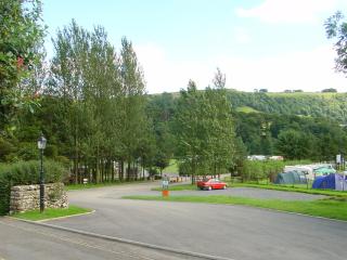
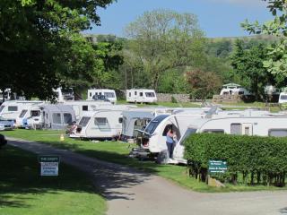
Knight Stainforth Hall Caravan & Campsite

- Launderette
- Ice pack facility
- Cafe/Restaurant
- BBQ

Nearby places to stay
Knight Stainforth Hall Caravan & Campsite
Knight Stainforth Hall is a family park located near Settle and the River Ribble, which makes it an ideal base for walking or touring the beautiful Yorkshire Dales National Park. There ...

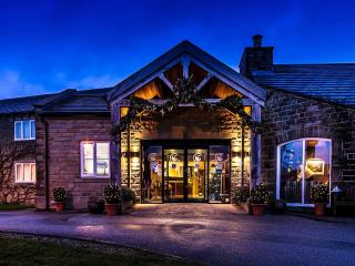
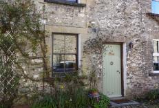
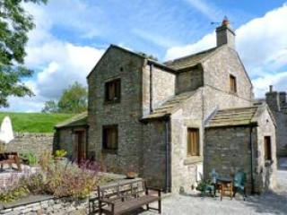
Langcliffe Locks
This former mill workers cottage is situated in a quiet rural location at the bottom of a country lane between the river on one side and a charming mill pond on the other. It is one of ...
Langcliffe Locks
This former mill workers cottage is situated in a quiet rural location at the bottom of a country lane between the river on one side and a charming mill pond on the other. It is one of ...
Langcliffe Park
Langcliffe Park is a tranquil family-run park in the beautiful Yorkshire Dales. Offering excellent facilities for touring caravans, motor homes and tents with EHU or serviced pitches av...
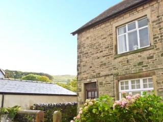
Low Fold Cottage
A mile out of the market town of Settle, Low Fold Cottage was built around 1912 by local watermill owners in what remains a quiet cul-de-sac. While paying attention to tradition, its mo...
Low Fold Cottage
A mile out of the market town of Settle, Low Fold Cottage was built around 1912 by local watermill owners in what remains a quiet cul-de-sac. While paying attention to tradition, its mo...
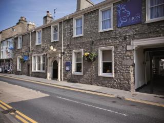
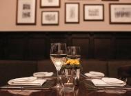
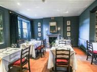
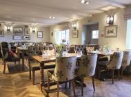
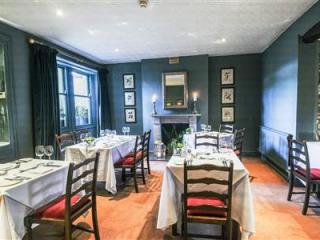
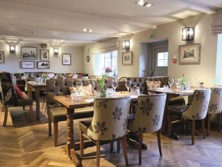
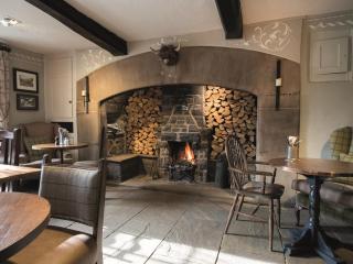
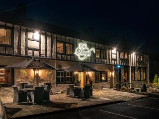
The Golden Lion
The Golden Lion is a traditional coaching inn ideally located in the heart of the pretty market town of Settle. The rooms boast character and have recently been renovated. A wide select...
The Coach House
Close House Cottages, on the outskirts of Giggleswick, are perfect for walkers and lovers of the great outdoors. They are set between the Yorkshire Dales and the Forest of Bowland, and ...
Places to eat nearby View all