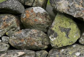
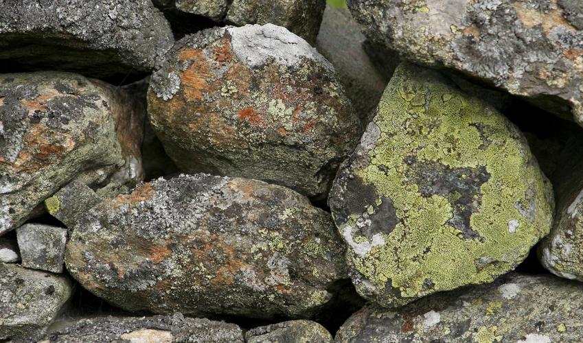
Austwick and the Norber Erratics
Recommended by

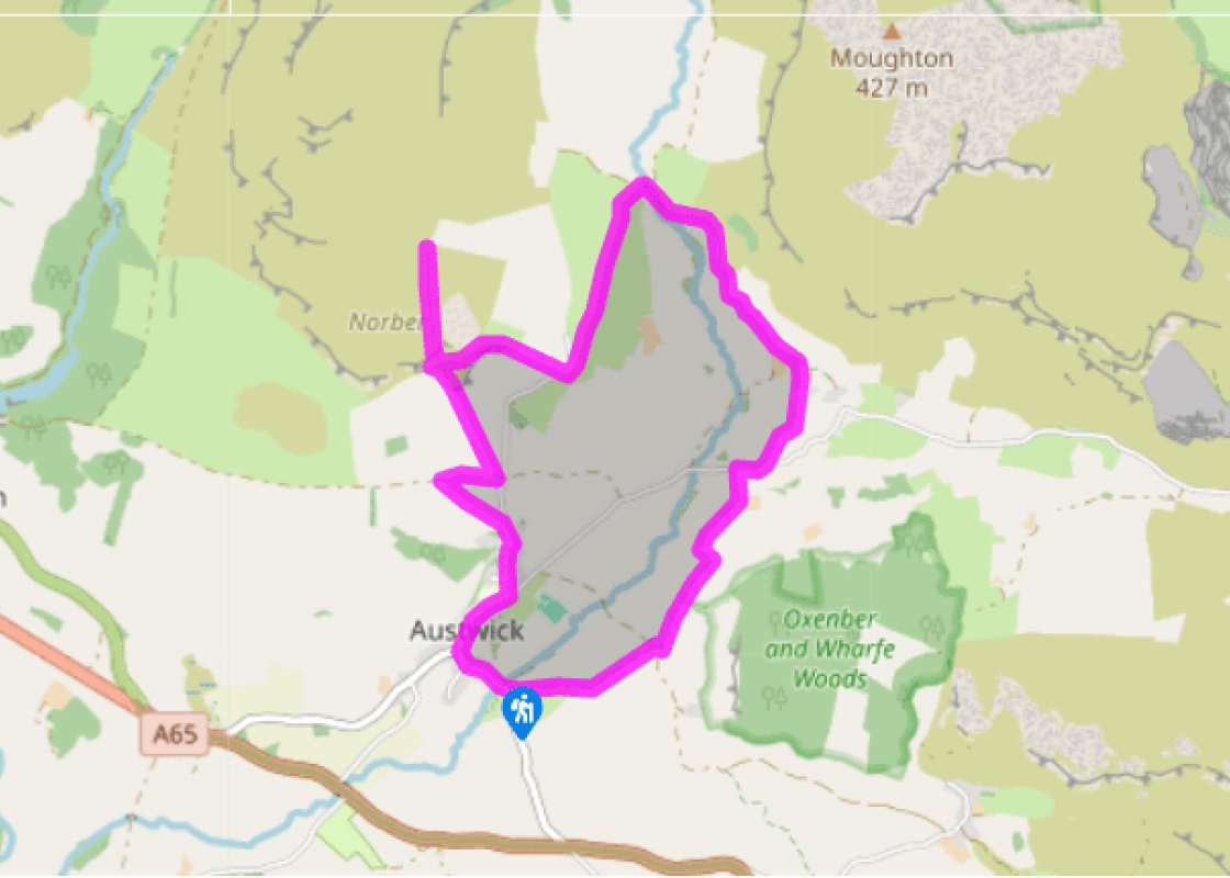
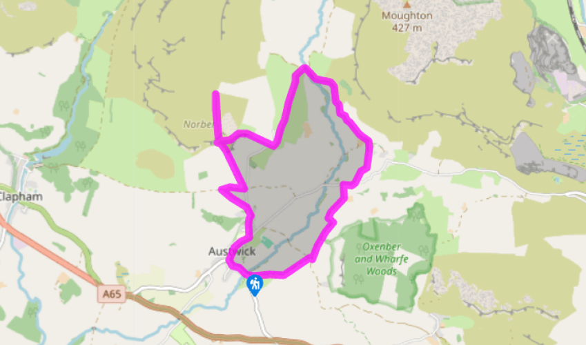
Walk directions
From the bridge, walk through the village. Bear right at the triangular green, following the signpost to Horton. Pass The Game Cock Inn and, just past a cottage called Hobbs Gate, turn left up Town Head Lane. Above the last of the houses, go left over a stone stile signed ‘Clapham’.
Walk up the field to another stile, and on to a ladder stile onto a lane. Turn right. Just before reaching a metalled road, turn left over a ladder stile and follow a track. As the track veers left, go straight on, following the stone wall to a stone stile by a gate.
View all directions
Additional information
Terrain
- Field and moorland paths, tracks, lanes, 8 stiles
Landscape
- Farmland and limestone upland
Dog friendliness
- Dogs should be on lead
Parking
- Roadside parking near Austwick Bridge and in village
Toilets en route
- None on route
About the walk
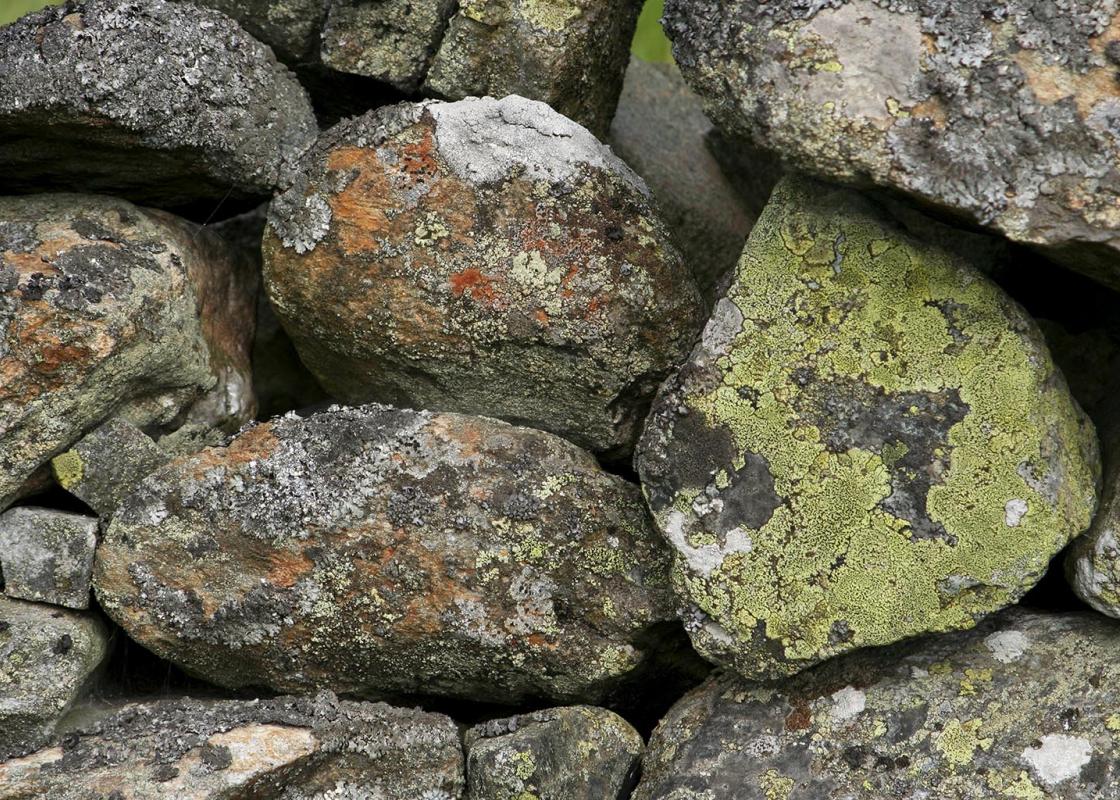
There is nothing showy about Austwick village. A pleasant, grey-built village, it has several old cottages, many of them dated in the traditional Dales way by a decorative lintel above the main door, showing the initials of the couple who had it built, together with the year they moved in. They...
Read more

Been on this walk?
Send us photos or a comment about this route. Or recommend a route of your own.

Walking in Safety
Read our tips to look after yourself and the environment when following this walk.

Get an AA guide
Explore our range of ‘50 Walks in’ guides - they’re the ideal companion for a ramble.
Been on this walk?
Send us photos or a comment about this route. Or recommend a route of your own.
Walking in Safety
Read our tips to look after yourself and the environment when following this walk.
Get an AA guide
Explore our range of ‘50 Walks in’ guides - they’re the ideal companion for a ramble.
About the area
North Yorkshire, with its two National Parks and two designated Areas of Outstanding Natural Beauty, is England’s largest county and one of the most rural. This is prime walking country, from the heather-clad heights of the North York Moors to the limestone country that is so typical of the Yorkshire Dales – a place of contrasts and discoveries, of history and legend.

Nearby places to stay
View all (8)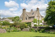


Caravan & Camping
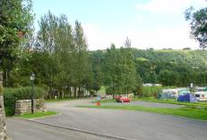
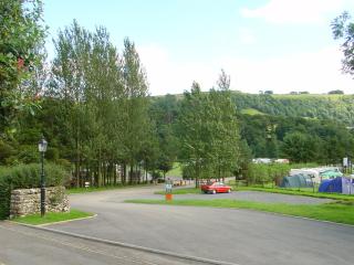
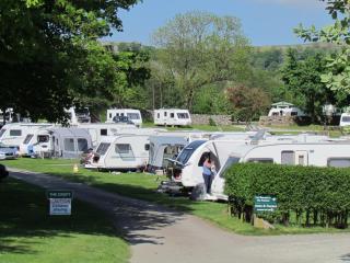
Knight Stainforth Hall Caravan & Campsite

- Launderette
- Ice pack facility
- Cafe/Restaurant
- BBQ

Nearby places to stay
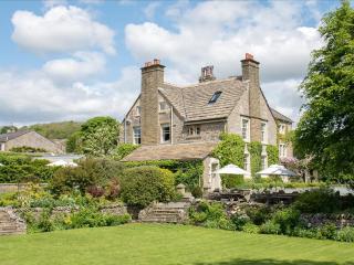
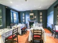
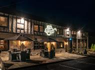
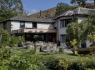
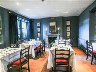
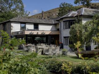
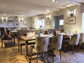
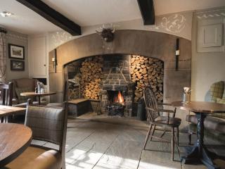
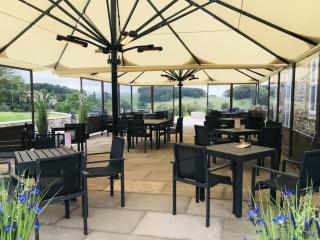
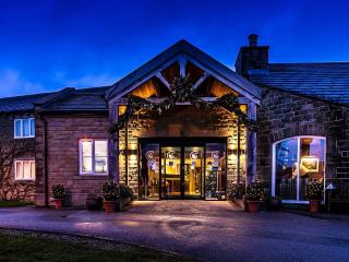
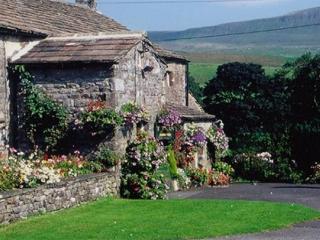
The Traddock
Situated within the Yorkshire Dales National Park in the peaceful village of Austwick, The Traddock is an 18th-century Grade-II listed Georgian country house, with well-tended gardens. ...
Knight Stainforth Hall Caravan & Campsite
Knight Stainforth Hall is a family park located near Settle and the River Ribble, which makes it an ideal base for walking or touring the beautiful Yorkshire Dales National Park. There ...

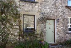
Langcliffe Locks
This former mill workers cottage is situated in a quiet rural location at the bottom of a country lane between the river on one side and a charming mill pond on the other. It is one of ...
Langcliffe Locks
This former mill workers cottage is situated in a quiet rural location at the bottom of a country lane between the river on one side and a charming mill pond on the other. It is one of ...
Langcliffe Park
Langcliffe Park is a tranquil family-run park in the beautiful Yorkshire Dales. Offering excellent facilities for touring caravans, motor homes and tents with EHU or serviced pitches av...
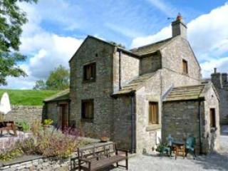
Blindbeck Holiday Cottage
Blindbeck Cottage is a great base for lovers of railways and of walking. It’s on the outskirts of Horton-in-Ribblesdale, at the heart of Three Peaks territory, and the station in the vi...
Blindbeck Holiday Cottage
Blindbeck Cottage is a great base for lovers of railways and of walking. It’s on the outskirts of Horton-in-Ribblesdale, at the heart of Three Peaks territory, and the station in the vi...
The Coach House
Close House Cottages, on the outskirts of Giggleswick, are perfect for walkers and lovers of the great outdoors. They are set between the Yorkshire Dales and the Forest of Bowland, and ...
Places to eat nearby View all