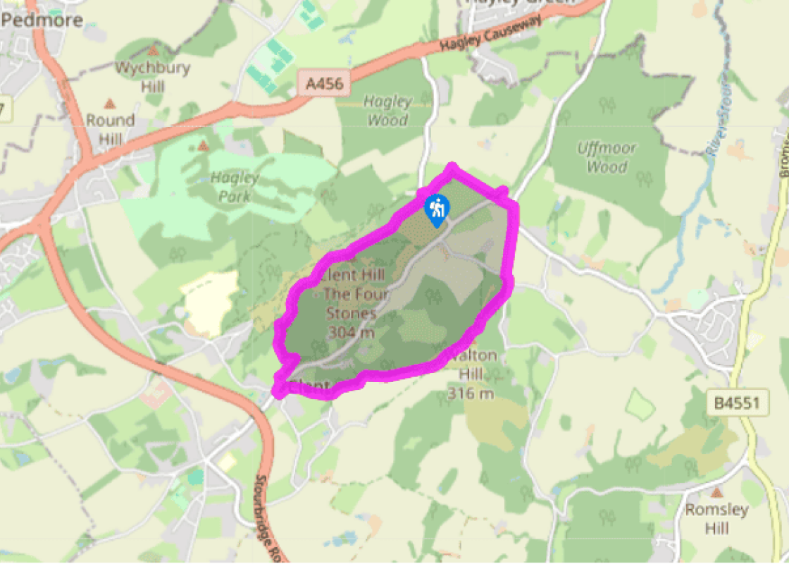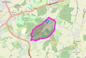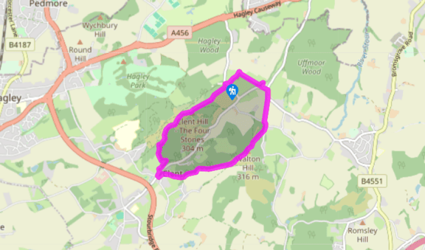
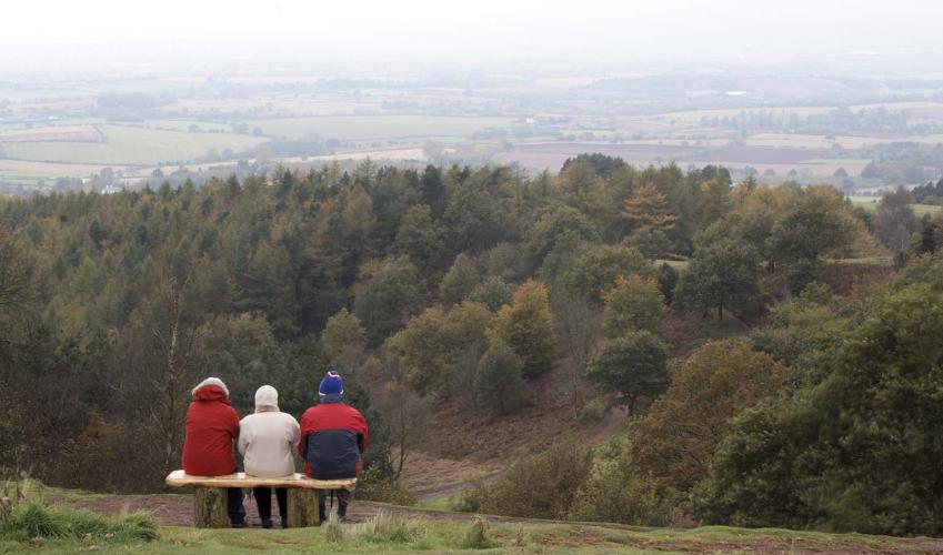
A circular route in the Clent Hills
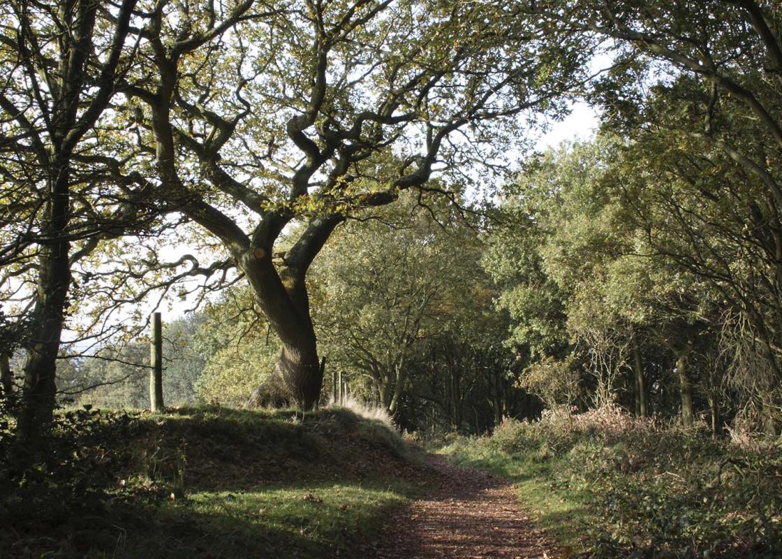
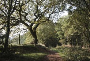
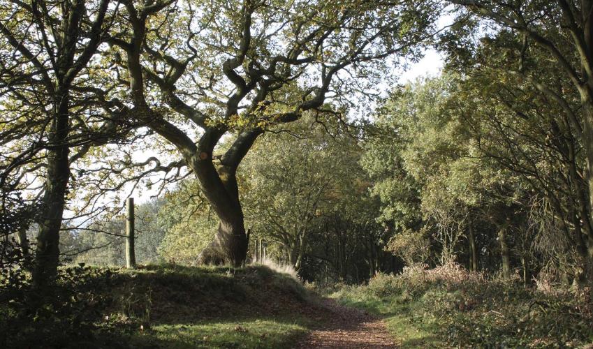
From the car park entrance, turn right and walk 10 paces to a stile on the left. Cross the stile and walk downhill, left of the horses’ exercise yard, to a corner field gate. Head half-right to the offset hedged corner and waymark post; turn right beside the hedge, then jig left beneath trees in 50yds (45m) to a stile into horse pasture. In 50yds (45m) climb another stile and aim half-right, pass through the old hedge-line then look diligently ahead for a kissing gate near yews into the churchyard of St Kenelm’s Church.
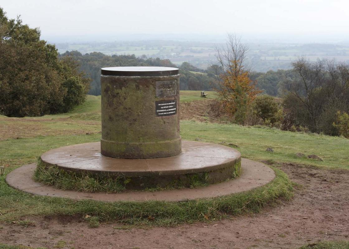
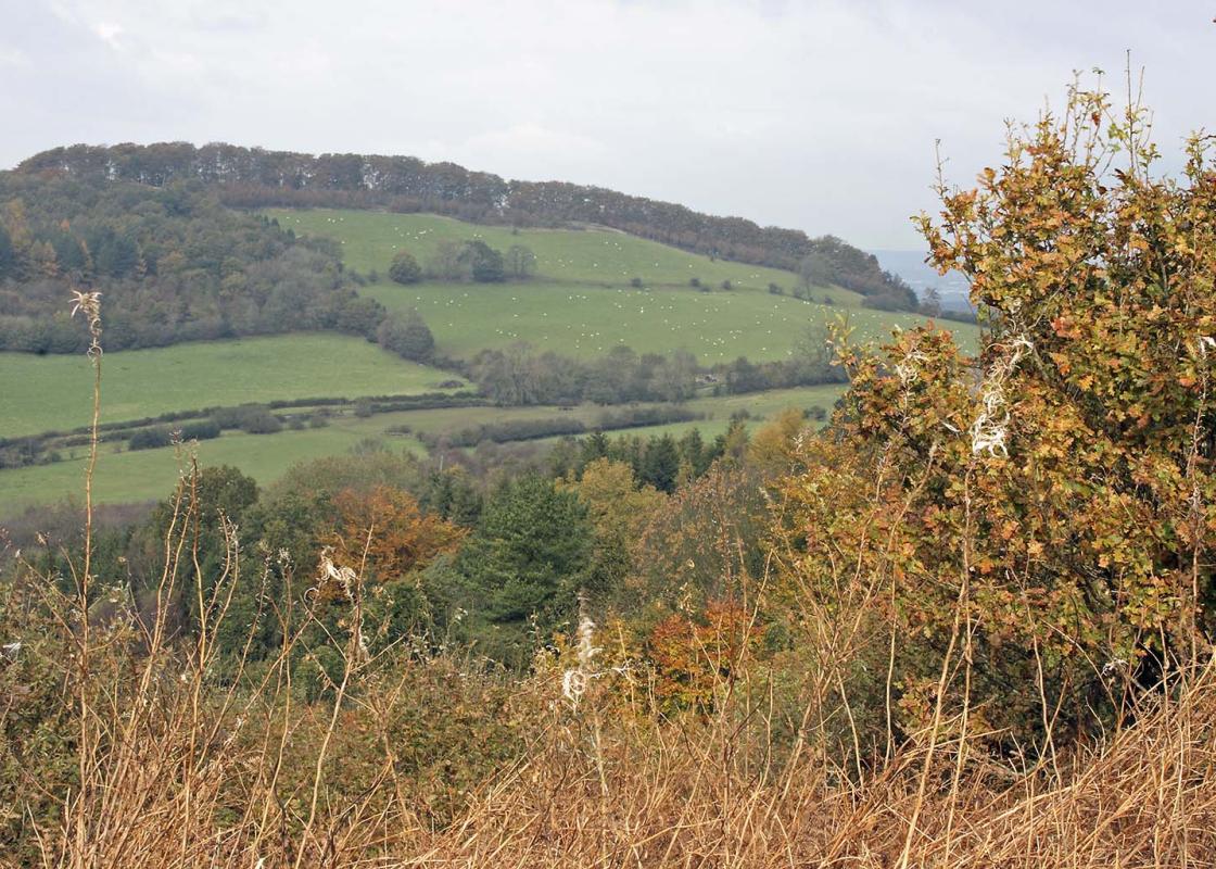
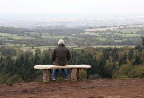
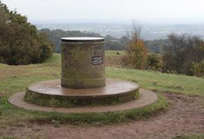
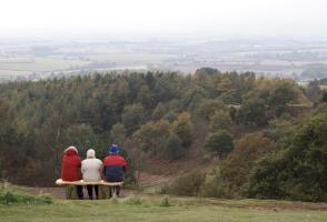
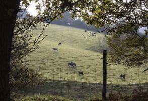
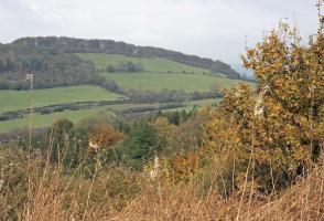
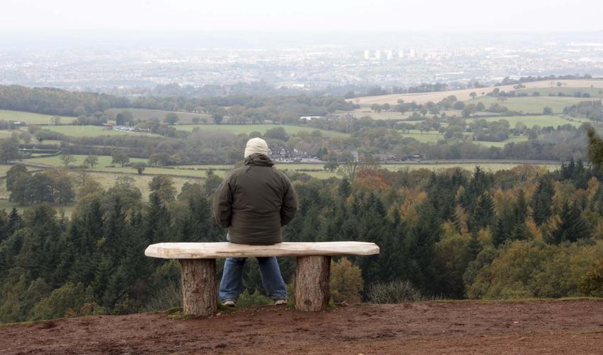
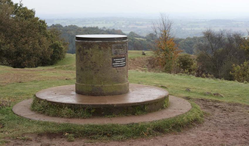
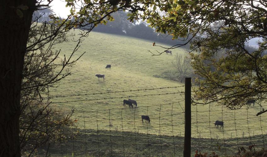
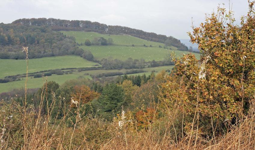
Leave by the lychgate. Turn left along the road for a short distance, then right at the T-junction. At the bend use the stile, on the right, off the driveway corner to The Wesleys. Climb gently uphill, aiming for the left edge of the hilltop woods, where steps lead to a lane. Turn left. Ignore a left turn but, just 30yds (27m) beyond it, take a muddy, gated narrow path into woodland up on the right, angled away from the road and not signposted. Emerge from the trees to the trig point on Walton Hill. Turn left, taking the right-hand of two options. This wide way descends, in 800yds (730m) becoming a wood-edge path beside pastures on your left. Pass by a waymarked bridleway joining sharply from the right, shortly thereafter passing a National Trust sign for Clent Hills (right). At the waymarked fork here, bear right, over a cross-path to reach a kissing gate into steep pasture. Continue ahead, downhill through two fields to find St Leonard’s Church at Clent, hidden by trees.

Been on this walk?
Send us photos or a comment about this route. Or recommend a route of your own.

Walking in Safety
Read our tips to look after yourself and the environment when following this walk.

Get an AA guide
Explore our range of ‘50 Walks in’ guides - they’re the ideal companion for a ramble.
Been on this walk?
Send us photos or a comment about this route. Or recommend a route of your own.
Walking in Safety
Read our tips to look after yourself and the environment when following this walk.
Get an AA guide
Explore our range of ‘50 Walks in’ guides - they’re the ideal companion for a ramble.
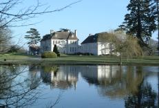
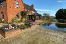
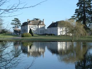
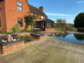
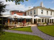
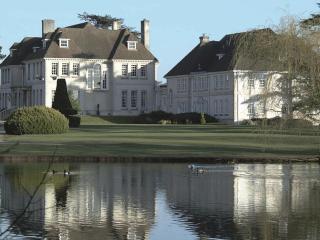
Nearby places to stay
View all (8)